Where We Be
| | | | | | |
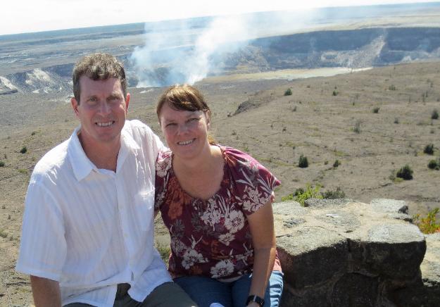
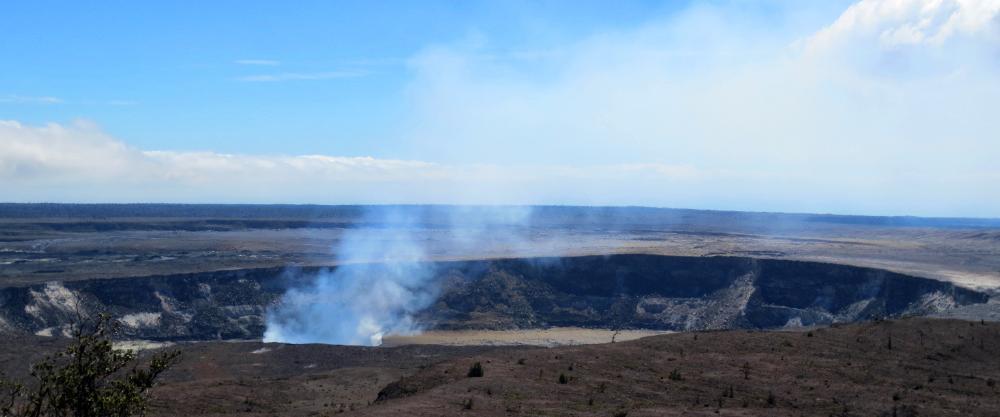
| As close as you can get to Halemaumau Crater at Volcanoes National Park. Lava bubbles 1,000 feet below. |
| Big Island -- Hilo & Volcanoes Nat'l Park |
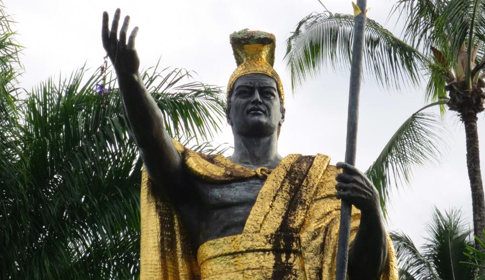
| Our final stop on this busy day was at the impressive statue of King Kamehameha |
The Big Island of Hawaii is bigger than all the
other Hawaiian islands combined. Our cruise
ship visited both sides of the Big Island -- Hilo
on the eastern side today and Kona on the
western side tomorrow. The Big Island is also
the most volcanically active of the six major
islands in the chain, so this is your best chance
to see lava flows, steaming vents, and volcanic
craters. We paid a visit to Volcanoes National
Park, which is located 30 miles southwest of
Hilo. We rented a car and made the easy drive
ourselves, saving money compared to paying
shore excursion prices. The highlight of our
visit was seeing the active Halemaumau Crater
(left). It's over 1,000 feet deep! Too deep to see
the lava bubbling at the bottom but it's there. A
helicopter ride would allow you to see it, but
we're saving our helicopter splurge for Kauai.
As our cruise ship rounded the Big Island that
night we stood on deck to watch for any lava
flows from Kilauea Crater. We saw a red glow
on the horizon but were too far away to see
much else. But conditions at the park change
constantly so you may be luckier and witness
lava flows on your visit.
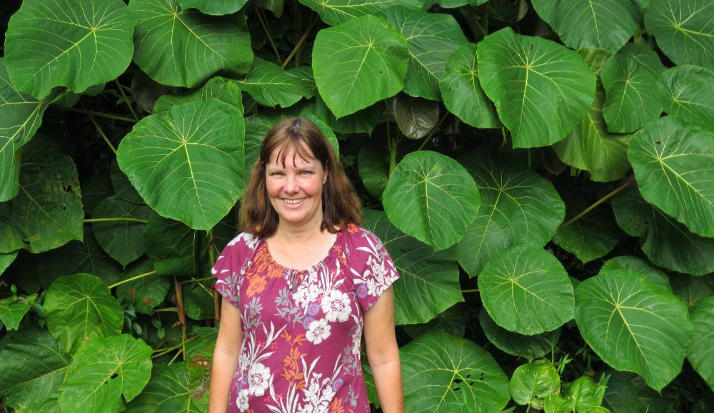
| We liked these huge "Jurassic Park" leaves at the entrance to Rainbow Falls |
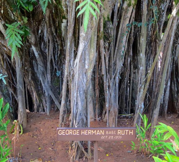
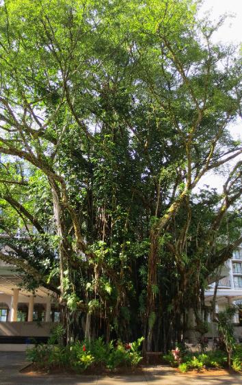
| Back in Hilo, we visited Banyan Drive, where we stopped near a banyan tree planted in honor of Babe Ruth (in front of the Hilo Hawaiian Hotel) |
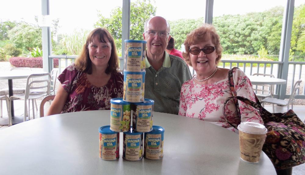
| We stopped at the Mauna Loa Macadamia Nut Factory (8 miles southeast of Hilo) to sample different varieties of macadamia nut and ended up buying a few cans for the road. Our favorite was the milk chocolate toffee. |
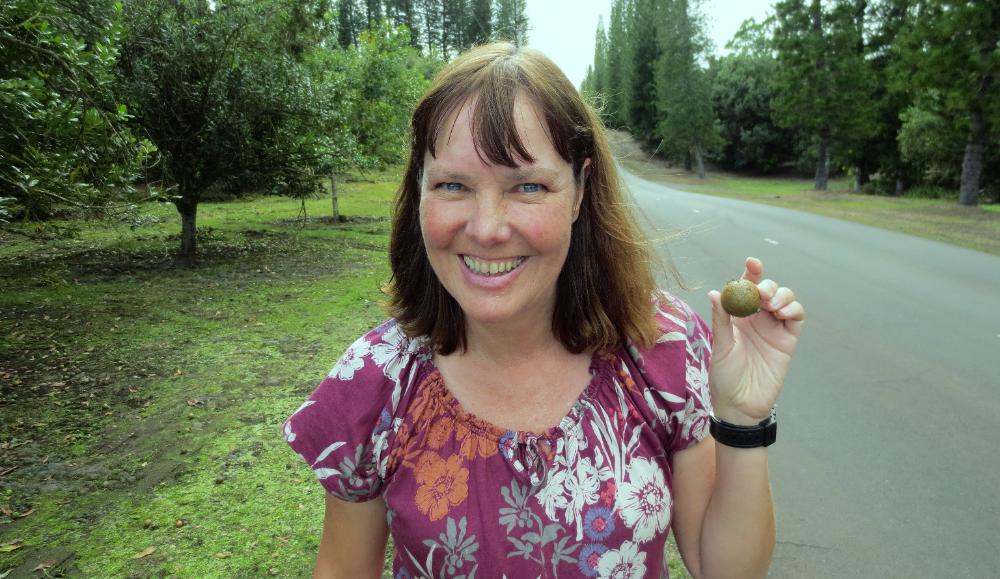
| Robin holds up a macadamia nut in its natural state. Those are macadamia orchards just behind her, stretching for three miles. |
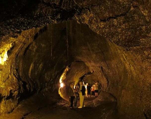
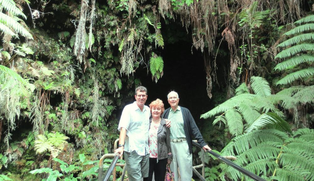
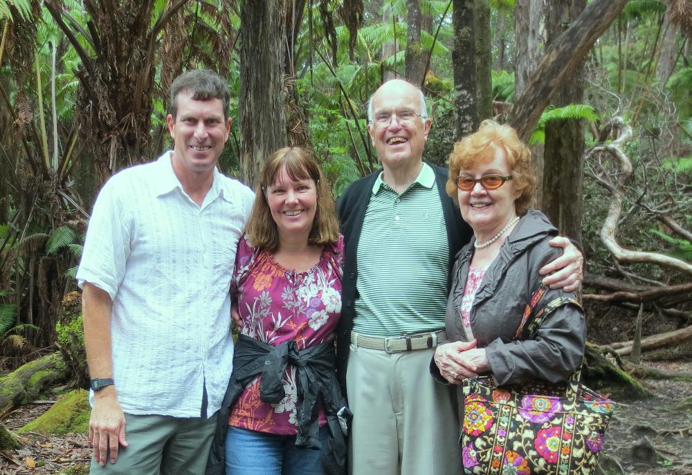
| We survived the lava tube and are all smiles as we enjoy the rainforest and birdsong outside |
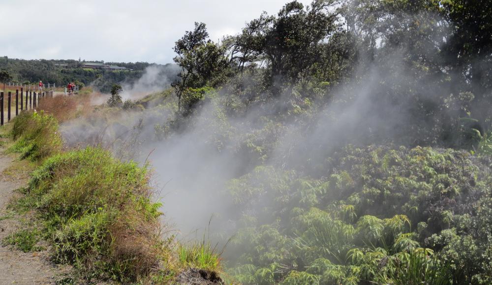
| These steam vents make it appear as if the whole forest is about to go up in flames |
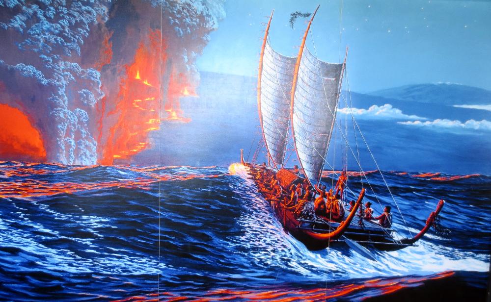
| Depiction at the visitor center of what early Polynesian settlers might have seen (I think I'd have turned the boat around at this point) |
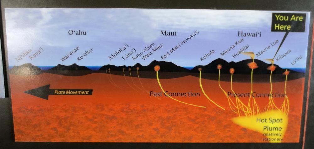
| This diagram shows how the "Hot Spot Plume" stays relatively stationary while the tectonic plate moves above it, thus forming each Hawaiian island in turn. Kauai is therefore the oldest island and the Big Island the newest of the major Hawaiian islands. |
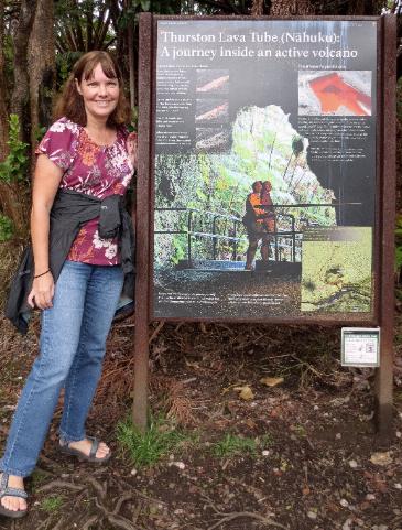
| Another fun park adventure is entering Thurston Lava Tube (that black hole behind us) |
| This massive 500-year-old lava tube formed when molten lava hardened first on the outer edges. The lava kept flowing within and eventually emptied out. |
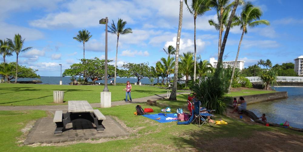
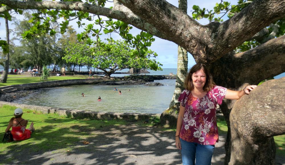
| Nearby Coconut Island offers good views of Hilo |
| Lots of Hawaiian families were spending the day swimming and relaxing in this pretty island oasis |
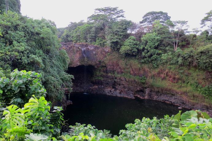
| We also visited Rainbow Falls but were underwhelmed by its meager trickle of water in late October |
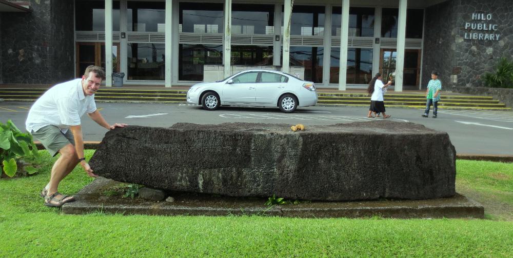
| Next we visited the Naha Stone in front of Hilo Public Library. Legend has it King Kamehameha as a boy of 14 lifted this 2½ ton stone as a test of royal strength and as proof of his right to conquer and unite the islands. |
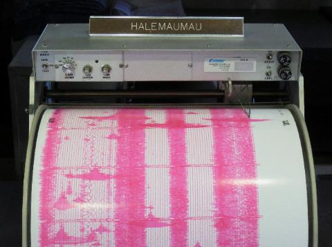
| This seismograph shows strong seismic activity at Halemaumau Crater |
| Halemaumau Crater is a half-mile wide and particularly active at present. It sits inside the much larger Kilauea Caldera. |
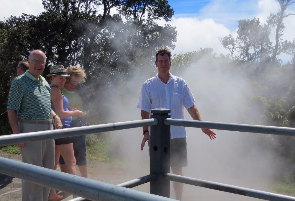
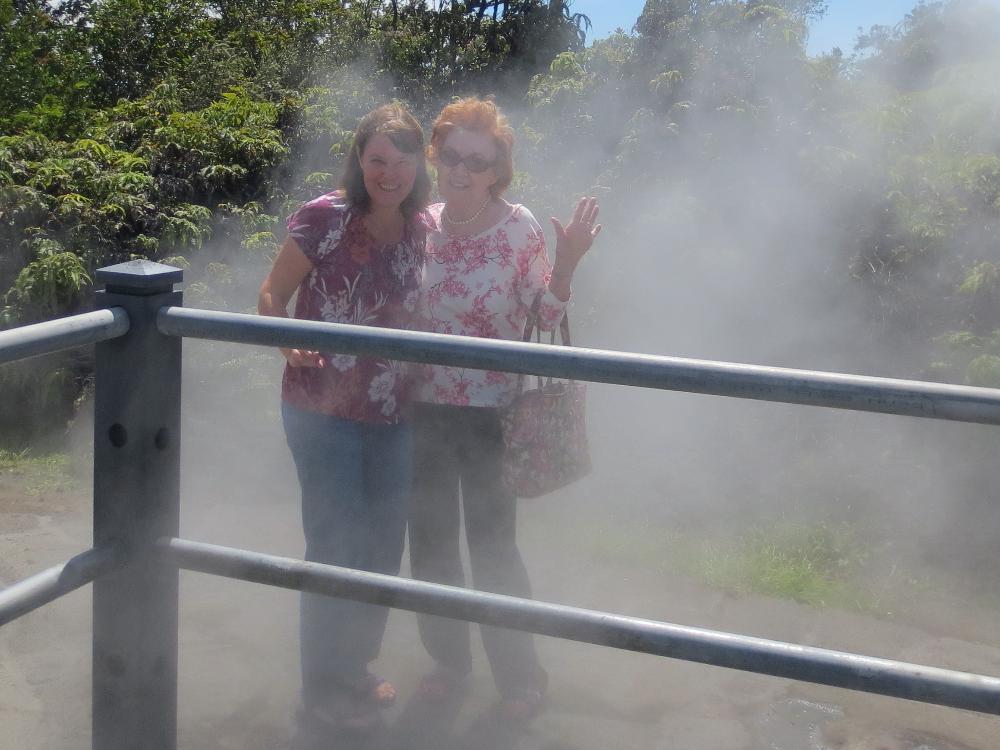
| The Steam Vents are a fun stop on your tour of Volcanoes National Park. They smell like sulphur and are quite warm. |
| Robin and my mom take their turn getting steamed |
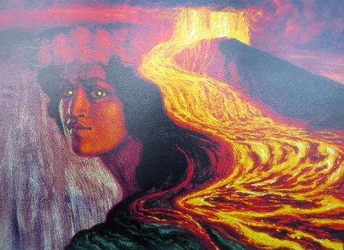
| Depiction of the volcano goddess Pele with her lava-flow hair (visitor center) |