Where We Be
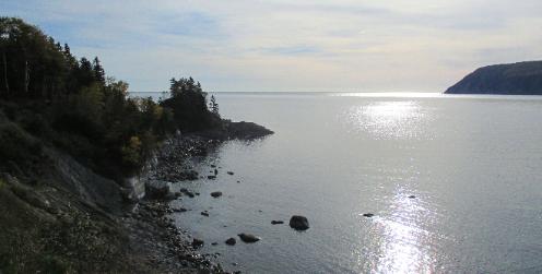
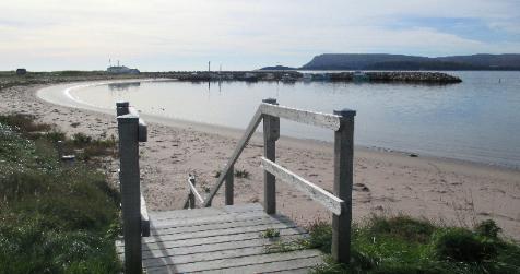
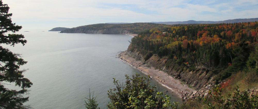
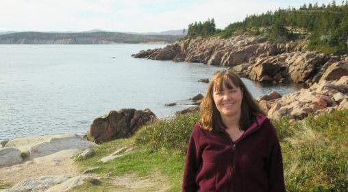
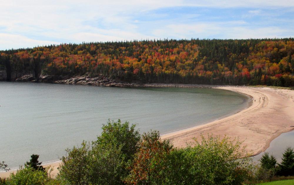
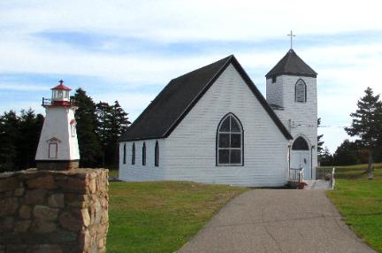
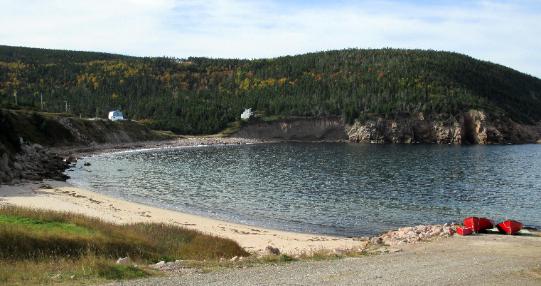

| Hugging the northeast coast, we head past quaint fishing villages and scenic lookouts on the way to Ingonish |
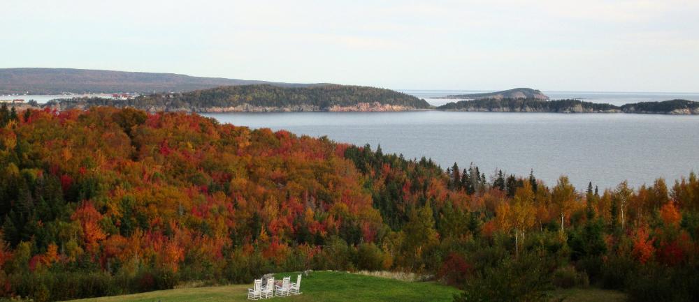
| Ingonish marks the eastern entrance to Cape Breton Highlands National Park |
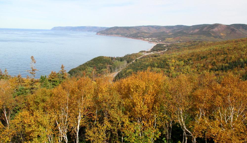
| There are plenty of park overlooks to enjoy |
| From Pleasant Bay you can keep an eye out for whales, dolphins, seals, and other marine life |
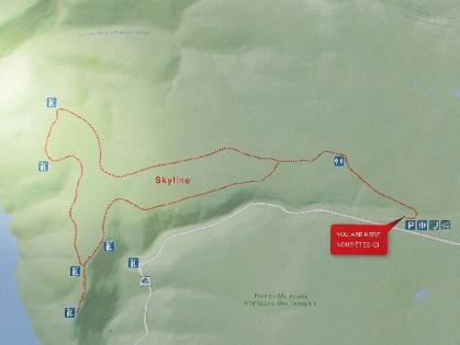
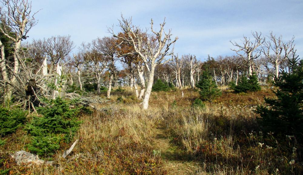
| Our next memorable stop is Skyline Trail -- probably the most popular hike in the park. The full loop is 9.2 km (5.7 miles). |
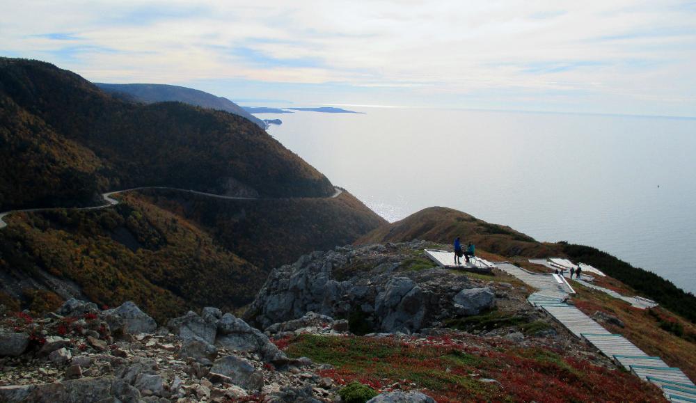
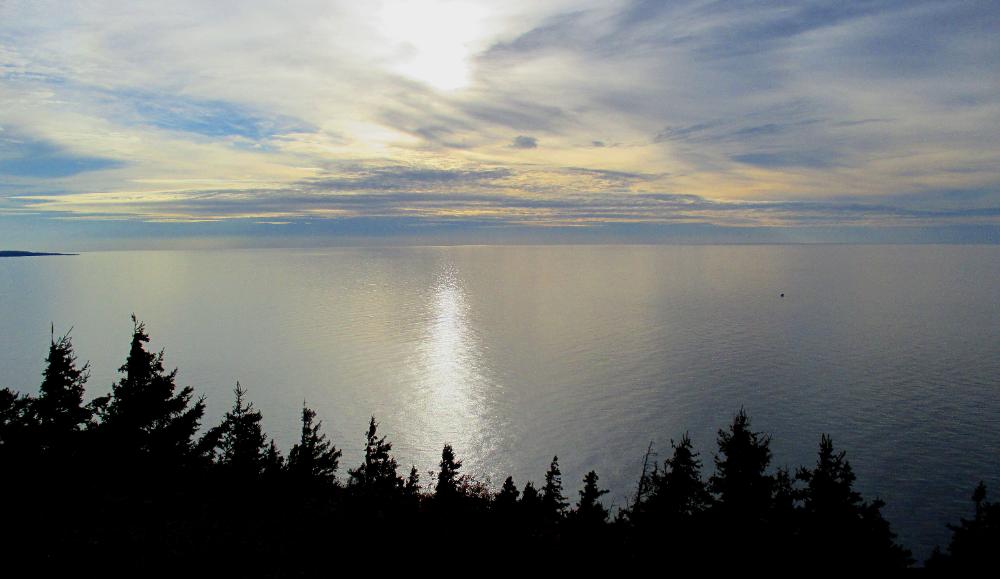
| The trail makes a loop, with an extension at the far end where you can walk along a steep, staired boardwalk to a headland overlook with panoramic ocean views |
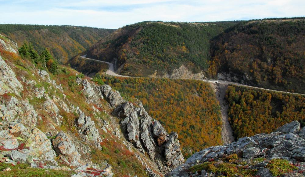
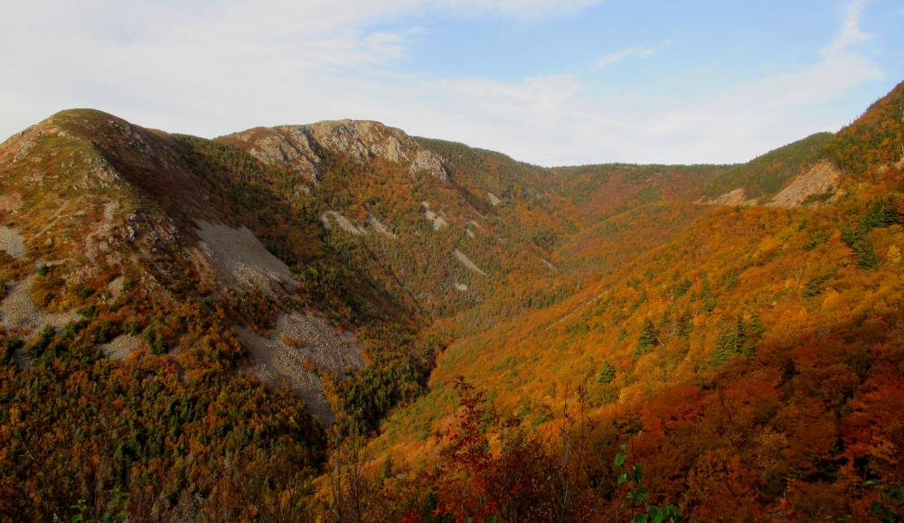
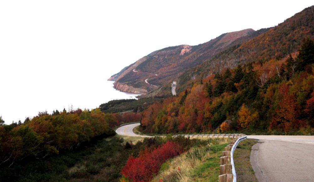
| Across the valley is the winding road leading south towards Cheticamp |
| We hike the long way back, hoping to see some moose -- but no such luck. On the other hand, we don't get eaten by coyotes! Only after the fact do we learn that Skyline Trail is the only place in the world where an adult has been confirmed as having been killed by coyotes. Taylor Mitchell, a 19-year-old Canadian folk singer, was fatally attacked by coyotes while hiking this stretch of trail in October 2009. |
| The foliage here is lovely as the sun begins to set |
| Near Cap Rouge we look down from a great height and see through our binoculars three pods of pilot whales feeding on large schools of fish. The Cheticamp area is particularly well known for its pilot whale population. |
| One final look back along the winding road leading north into Cape Breton National Park |
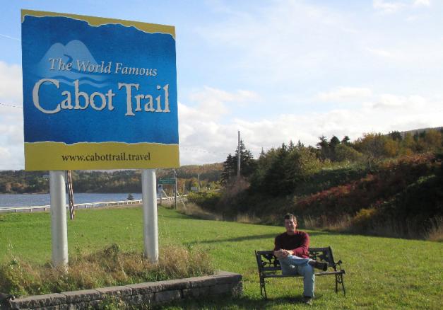
| At the start of the Cabot Trail, near Baddeck on Bras d'Or Lake |
| Nova Scotia -- Cape Breton & Cabot Trail |
Wow, what a day! A terrific combination of
outstanding fall foliage and dramatic natural
scenery. We squeezed every ounce out of the
day, getting started before dawn and returning
after dark. The highlight of the drive was Cape
Breton Highlands National Park, which sits at
the northern end of Cape Breton Island. Most
people who visit, however, make a bigger loop
called the Cabot Trail that begins near Bras d’Or
Lake to the south. One third of the Cabot Trail
passes through the park.
The Cabot Trail itself is considered one of the
world's most scenic drives. Picture 300 km (185
mi) of winding roads offering rugged coastal
views and you’ll have an idea why this road is
special. Its northern and southern stretches lie
inland, but east and west it hugs the coastline.
It's the perfect drive for those who, like John
Cabot himself, like to explore new territory. The
scenery inside the park and on its outskirts is
beautiful. You can choose to go clockwise or
counterclockwise depending on your taste. We
chose counterclockwise to put ourselves on
the outside of the road nearest the water views.
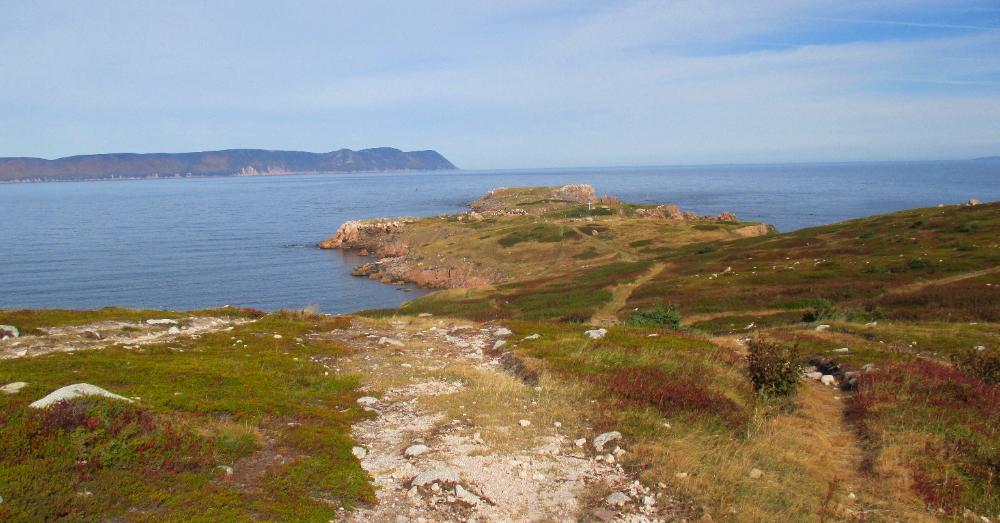
| When we reach Neil’s Harbor on the northeastern side of the Cabot Trail, we detour along the Coastal Loop Road, which officially lies outside the park. Eventually we park our car at White Point harbor. |
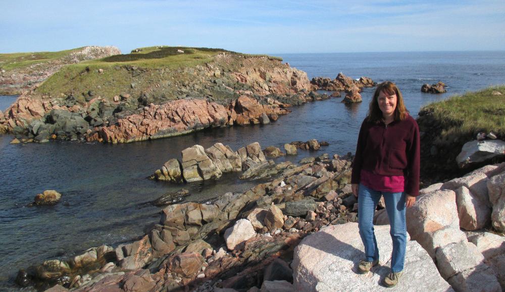
| A short hike leads to this green peninsula of land jutting into the ocean at White Point Harbor. Across the water is the northernmost portion of Cape Breton Island. |
| We decide to walk all the way to the end of the peninsula (about a half hour each way). Waves splash against the sharp rocks, which form little islands out beyond the peninsula itself. |
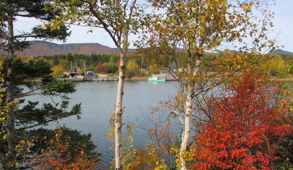
| We detour once again towards the tiny fishing village of Dingwall, where we have a memorable "car picnic" while enjoying fine views |
| Everything looks prettier through a screen of colorful foliage |
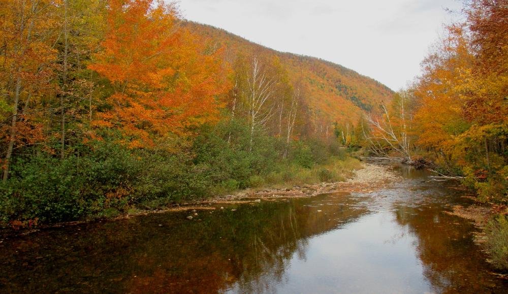
| Back on the main park road, we drive along the northern inland section of the Cabot Trail, pausing occasionally to enjoy scenic spots like this |
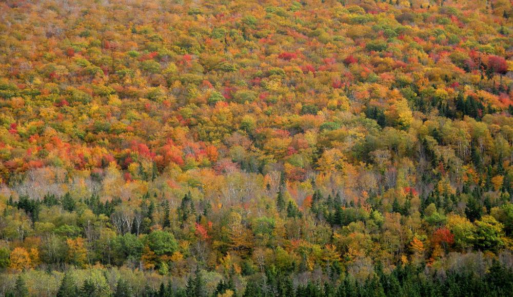
| Normally, perhaps, this part of the drive would be marginally interesting at best, but in the autumn it is spectacular. Locals tell us this is the best autumn they can remember in years. |
| We reach the western side of the park by mid-afternoon and are treated to fine ocean views at Pleasant Bay |
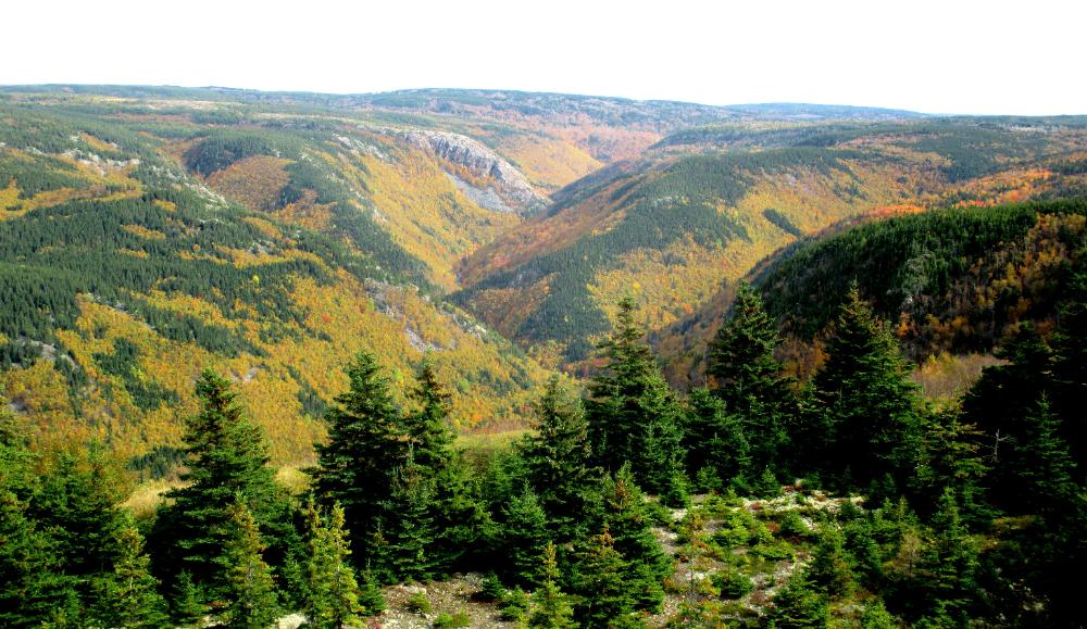
| Every overlook point across every valley offers amazing autumnal views |
| Right off the bat we get some lovely views as we head northeast toward St. Ann's |
| We stop a lot -- fine scenery beckons at every turn |
