
Where We Be

| | | | | | |
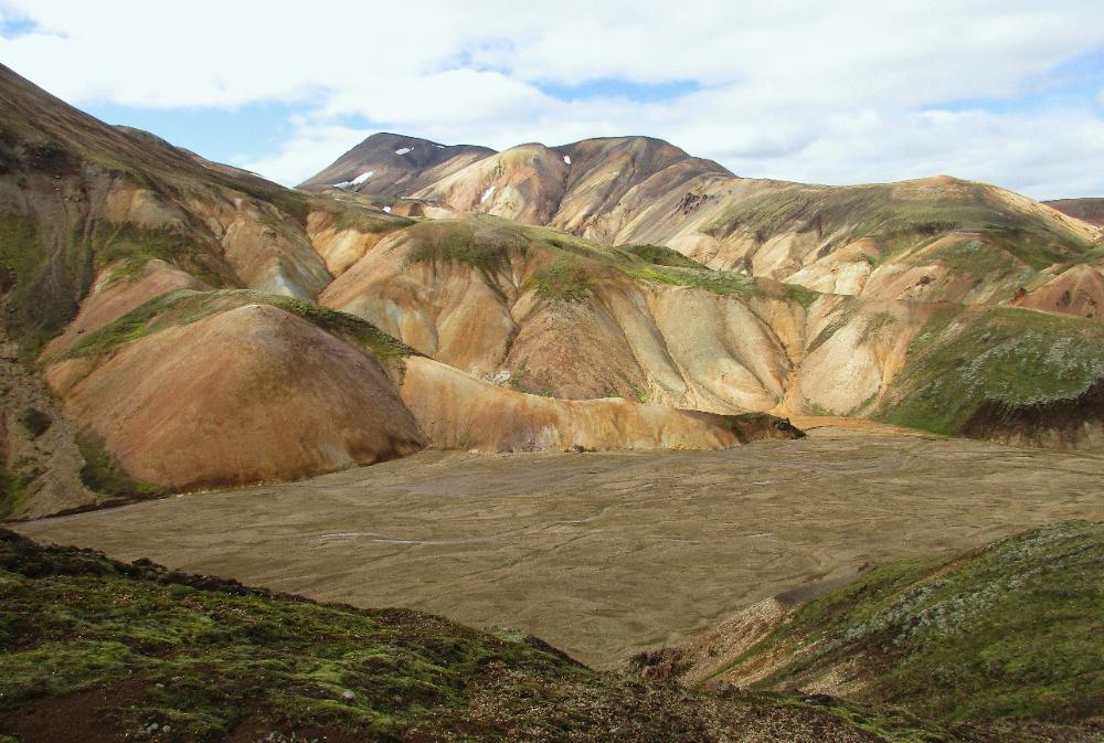
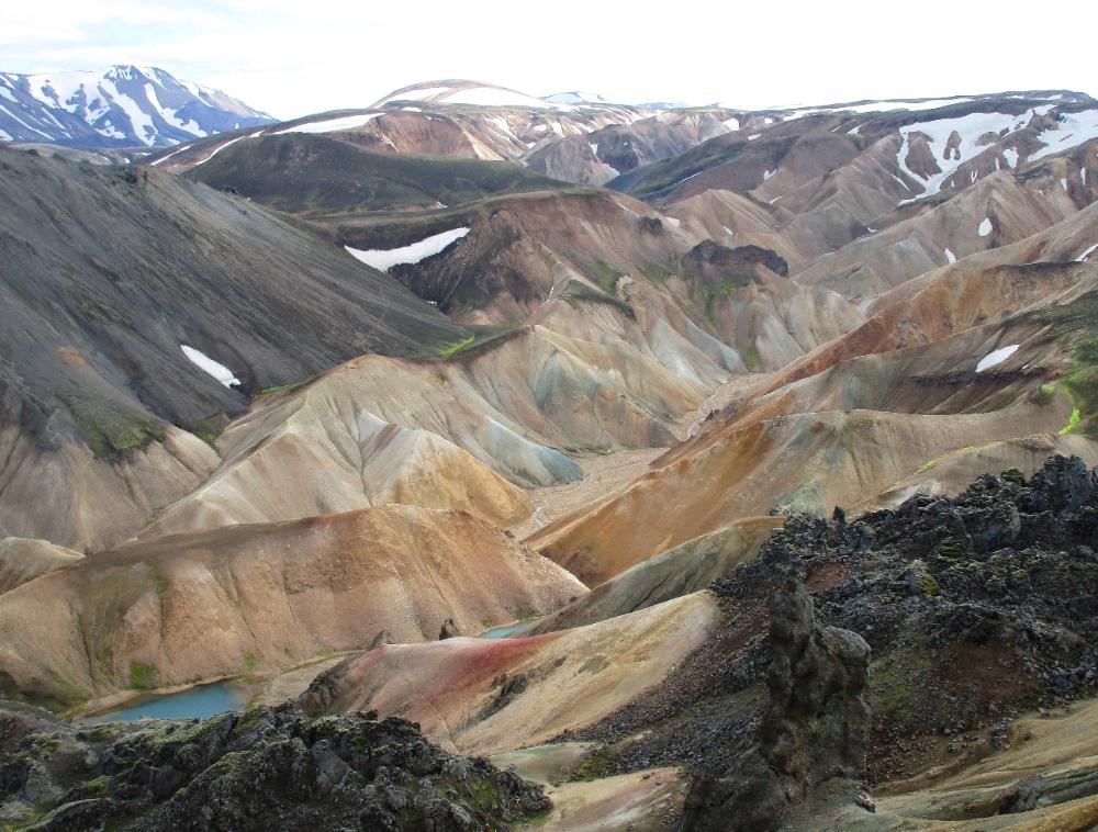
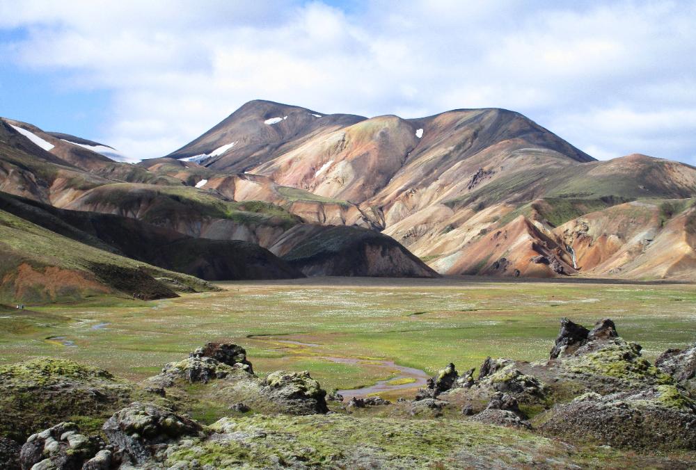
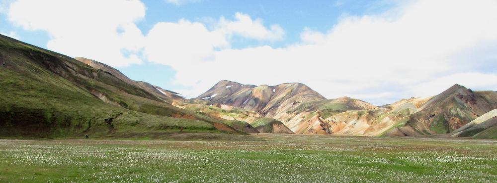
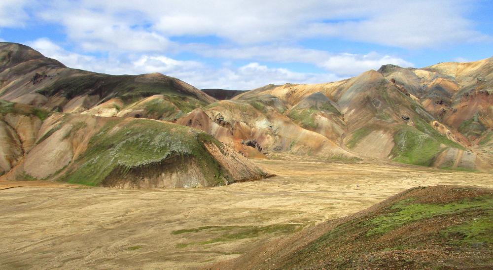
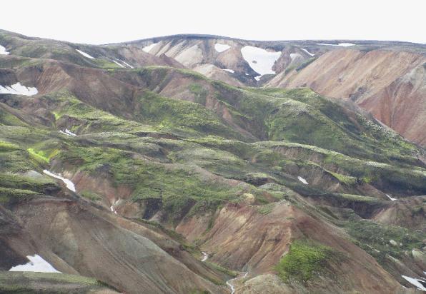
| This is an actual photo, not a landscape painting! The softened lines and vibrant colors make Landmannalaugar almost too good to be true. |
| Landmannalaugar, Iceland |
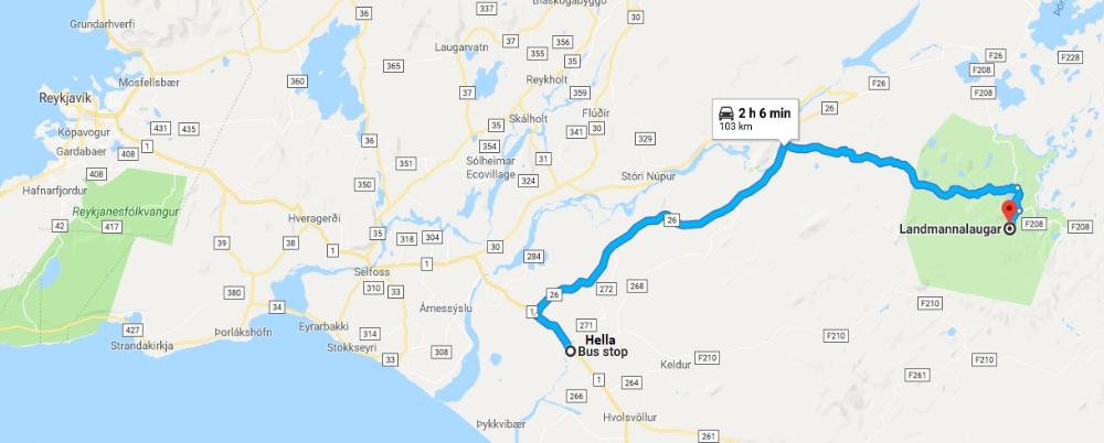
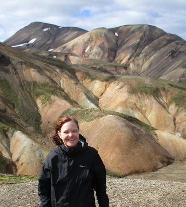
| We caught the 9:30 am Trex Bus from Hella and arrived two hours later in Landmannalaugar. Using Hella as our transit point instead of Reykjavik saved us over two hours of bus time. |
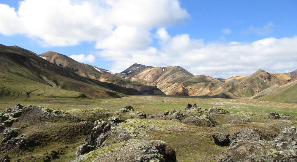
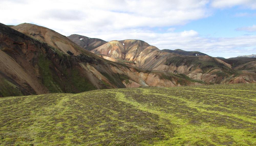
Landmannalaugar was a revelation: we thought
nothing could rival the hikes we'd just done in
Thorsmork but this did. In many ways we saved
the best for last on this trip: we wouldn't have
wanted to miss out on either of these two great
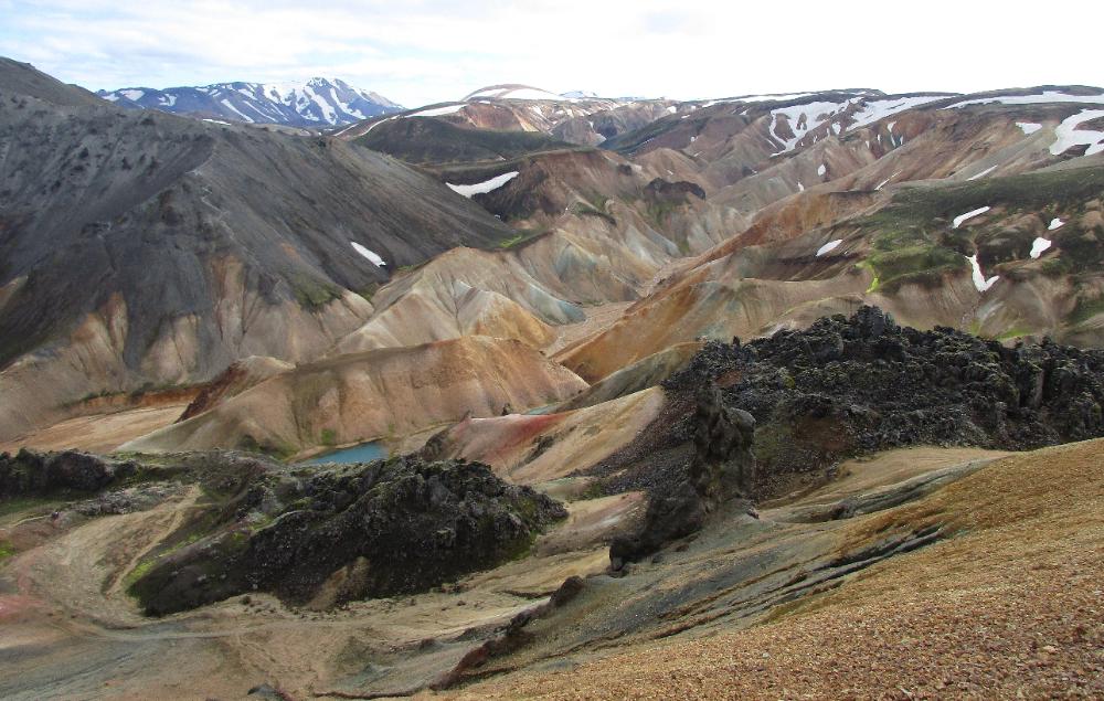
hiking destinations. Landmannalaugar is best
known for its colorful rhyolite mountains, and
all we can say is we've never seen anything
quite like them. At times it felt like we were
walking through a landscape painting: the
colors are so vibrant and the mountains so
smoothly contoured they don't seem quite real.
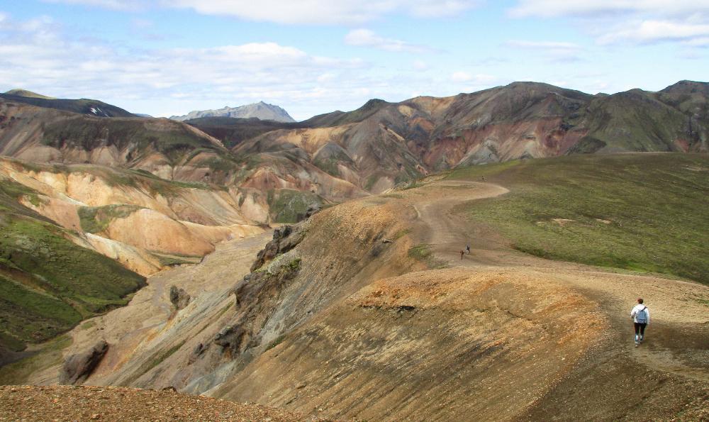
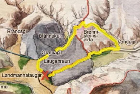
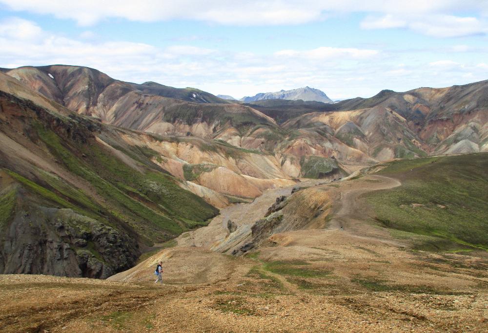
The Brennisteinsalda hike (sometimes called
the Sulphur Wave trail) is the premier hike in
the area and for good reason -- it takes you
right through the heart of this amazing country.
It's 4 miles (6.5 km) long and involves a fair bit
of elevation gain since you climb to the top of
Mt. Brennisteinsalda itself at ~2,800 ft (855 m)
from an initial elevation of ~2,000 ft (600 m). The
first half of the hike is mostly flat so you can
decide how far you want to go, but frankly the
views are so good it's worth doing the whole
loop if at all possible. From the top you get
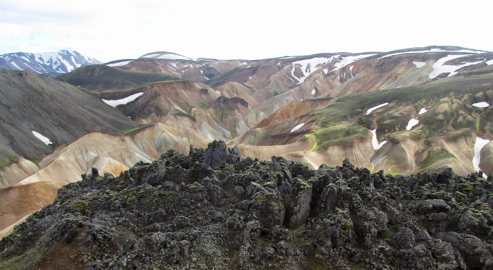
panoramic views of some of the best scenery
you'll ever lay eyes on. The incredible variation
of the hike is part of what makes it so great.
nothing could rival the hikes we'd just done in
Thorsmork but this did. In many ways we saved
the best for last on this trip: we wouldn't have
wanted to miss out on either of these two great
hiking destinations. Landmannalaugar is best
known for its colorful rhyolite mountains, and
all we can say is we've never seen anything
quite like them. At times it felt like we were
walking through a landscape painting: the
colors are so vibrant and the mountains so
smoothly contoured they don't seem quite real.
The Brennisteinsalda hike (sometimes called
the Sulphur Wave trail) is the premier hike in
the area and for good reason -- it takes you
right through the heart of this amazing country.
It's 4 miles (6.5 km) long and involves a fair bit
of elevation gain since you climb to the top of
Mt. Brennisteinsalda itself at ~2,800 ft (855 m)
from an initial elevation of ~2,000 ft (600 m). The
first half of the hike is mostly flat so you can
decide how far you want to go, but frankly the
views are so good it's worth doing the whole
loop if at all possible. From the top you get
panoramic views of some of the best scenery
you'll ever lay eyes on. The incredible variation
of the hike is part of what makes it so great.
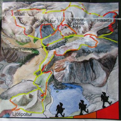
| This map shows steepness levels along each trail |
| I've outlined in yellow the Brennisteinsalda trail we did this day |
| And this yellow cliff face shortly after you exit the canyon |
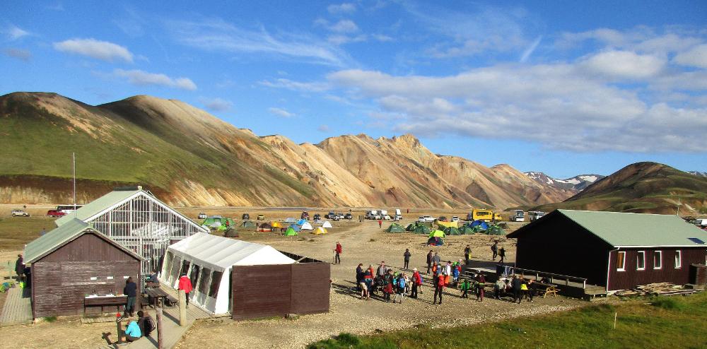
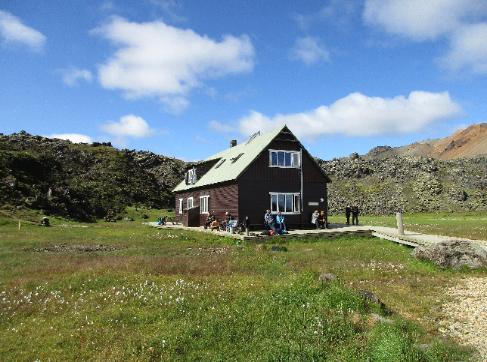
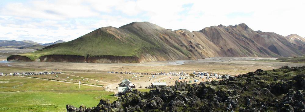
| This is a busy place in August -- lots of people tent camping as well as staying in the hut (which accommodates 78 people on two floors) |
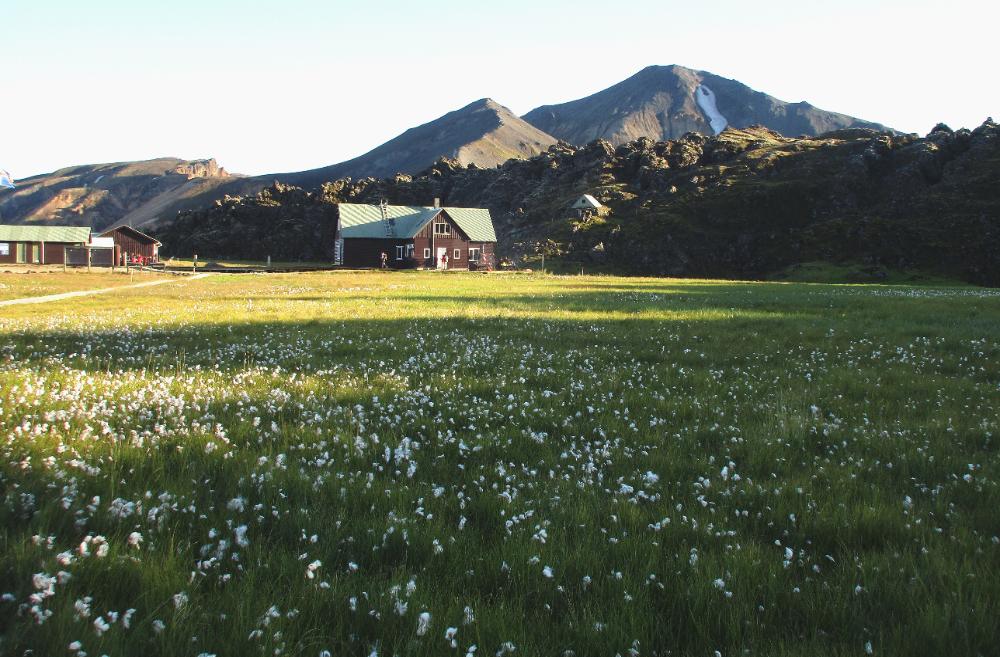
| Home sweet home! |
| After dinner we enjoyed a short stroll with beautiful lighting on the distant peaks |
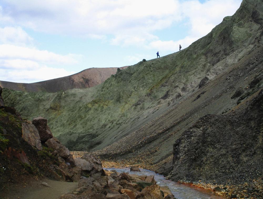
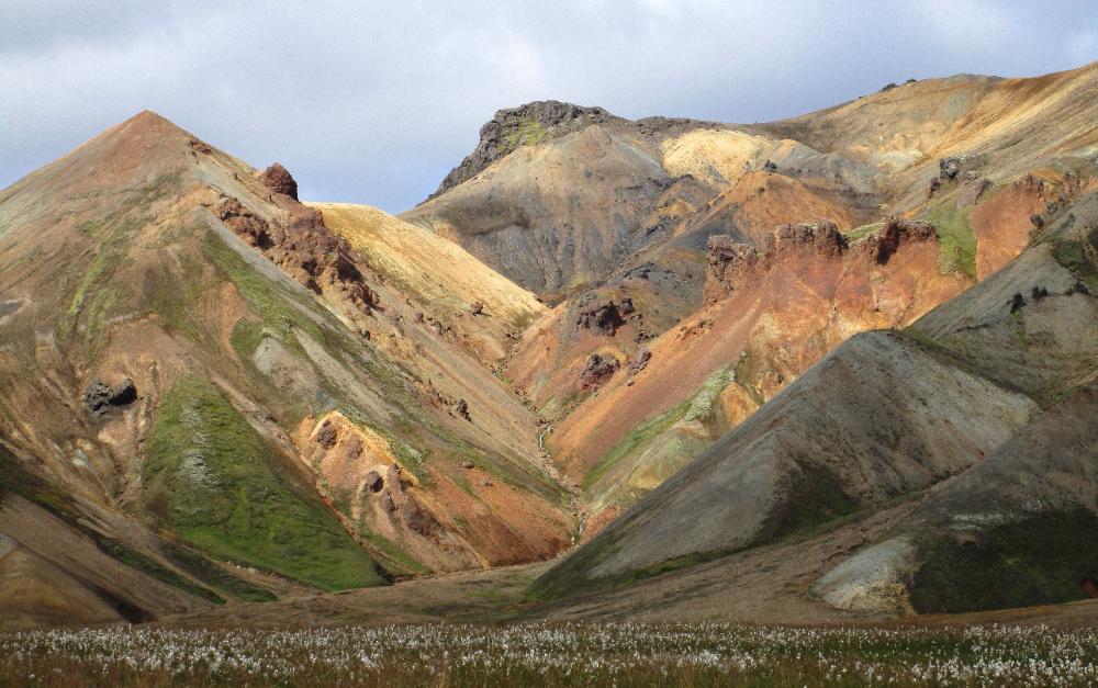
| You'll pass these astonishing green-rock mountains known as Graenagil Canyon |
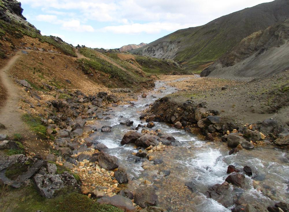
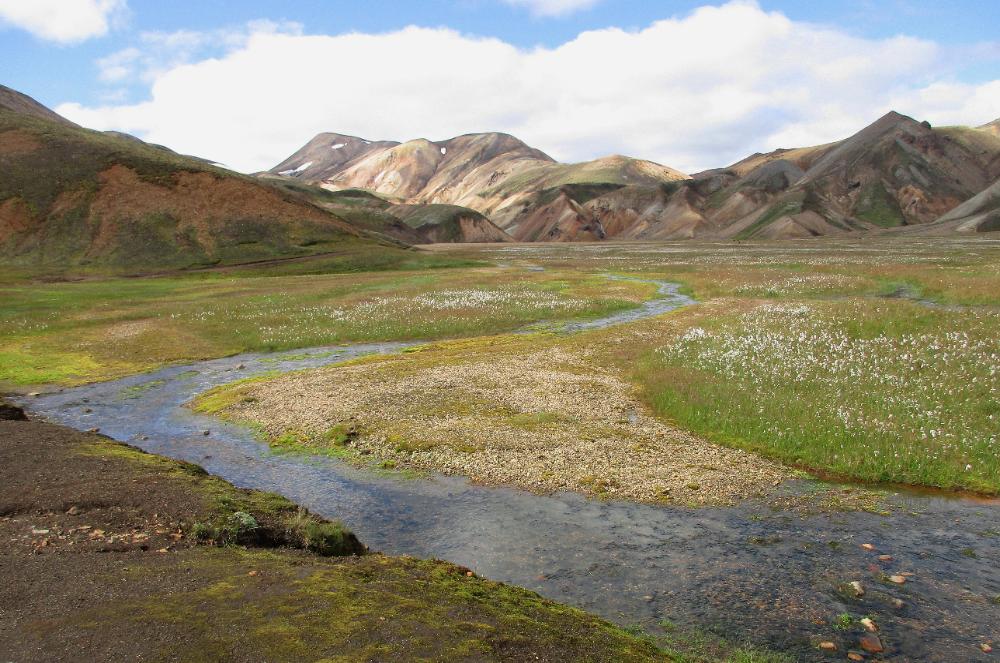
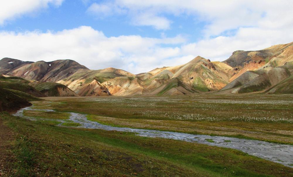
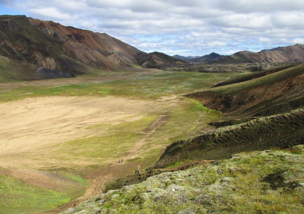
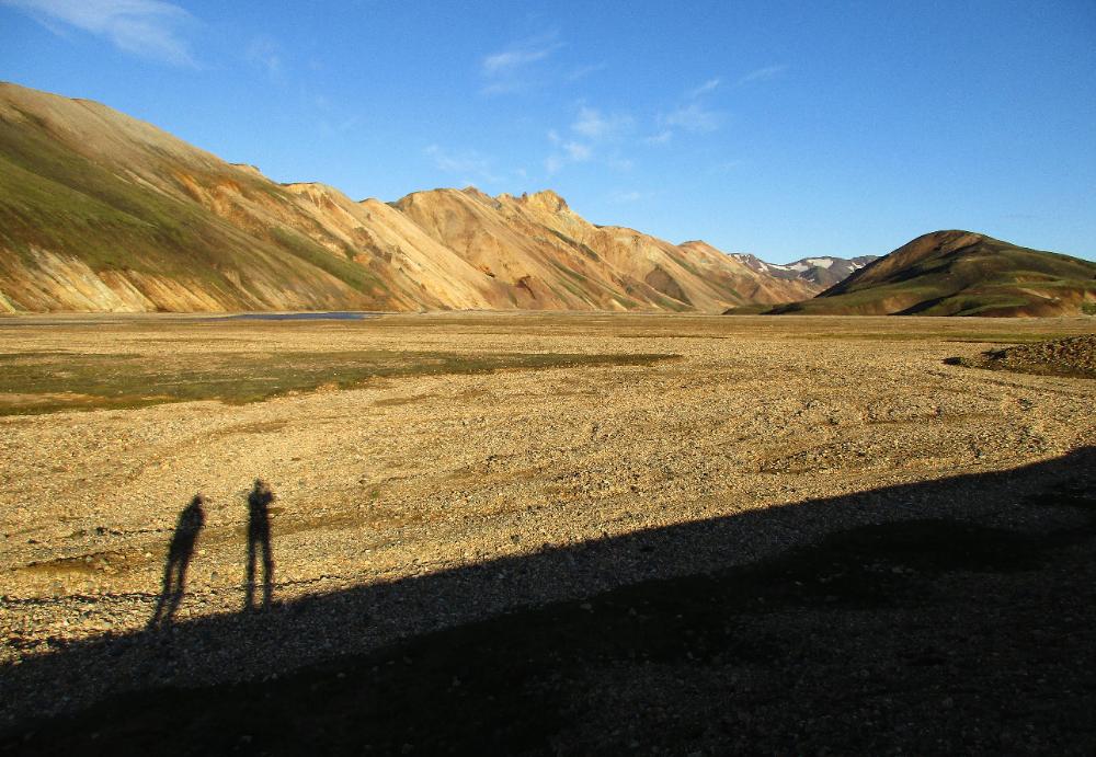
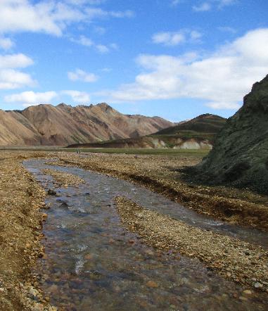
| Once you reach this lovely bubbling stream you're almost home |
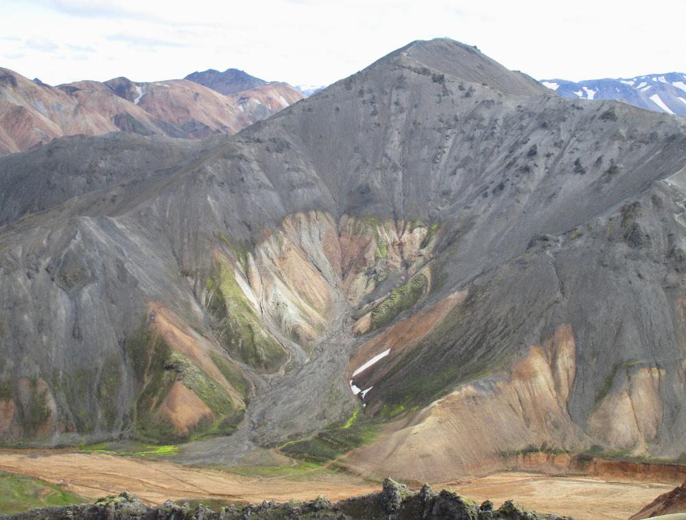
| Mount Blahnukur ("Blue Peak") is visible across the valley, with its incredible "tree of life" motif embraced within its arms |
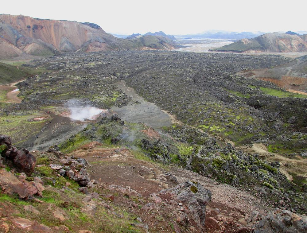
| Steaming vents become visible at this point against a backdrop of black volcanic rock |
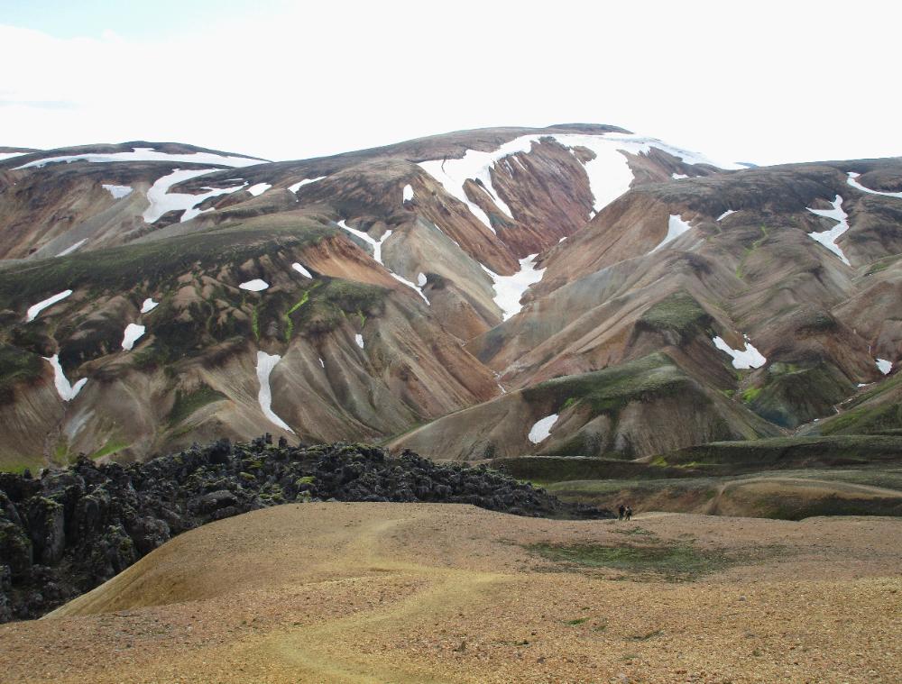
| Looking back at Mt. Brennisteinsalda after a steep descent (it looks like a massive pile of dragon's gold from this angle!) |
| As you continue your descent, whole new vistas open up. We've never seen this color of blue in rock before -- it's quite something. |
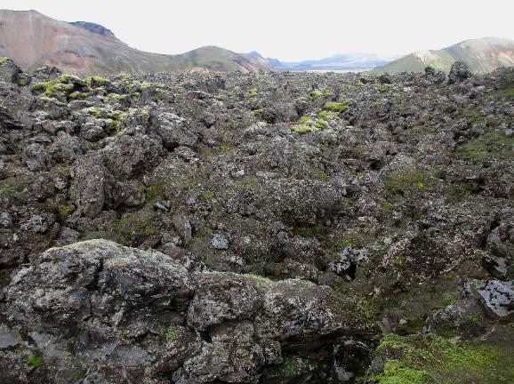
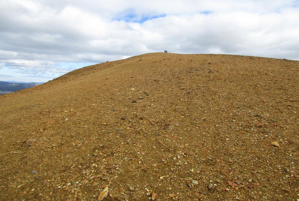
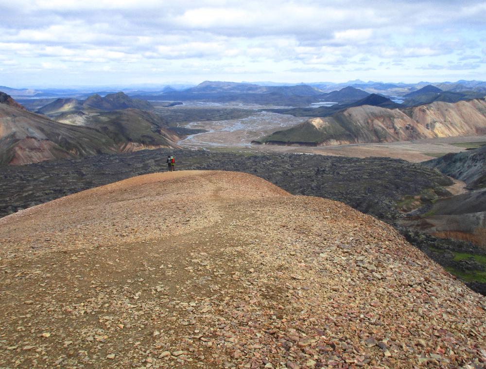
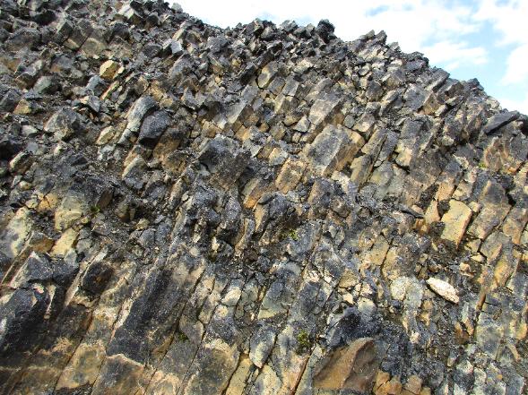
| The hut warden recommended we start with the Brennisteinsalda hike since it's one of the best hikes in the park. After an initial climb you cross a rocky volcanic field. |
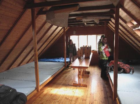
| We checked into the hut at noon and were assigned to Room 2 upstairs. All the sleeping mats were side by side in a continuous row. We snagged two mats in the corner and got started hiking almost immediately. |
| At the top of Mount Brennisteinsalda now. Terrific 360- degree views from here -- and mostly flat or downhill ahead. |
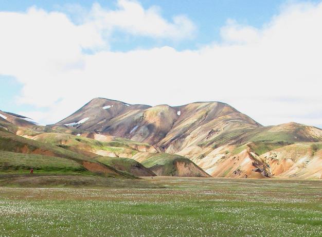
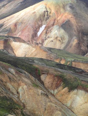
| Zooming in a little closer on those rhyolite mountains |
| You can hike to this point in less than half an hour |
| The flat walking comes to a sudden end and the trail climbs steeply. But the views are so tremendous we think you'll want to keep going. |
| Many day-trippers turn around at this point, but the walk stays mostly flat ahead |

| Map data ©2018 Google |