Where We Be
| | | | | | |
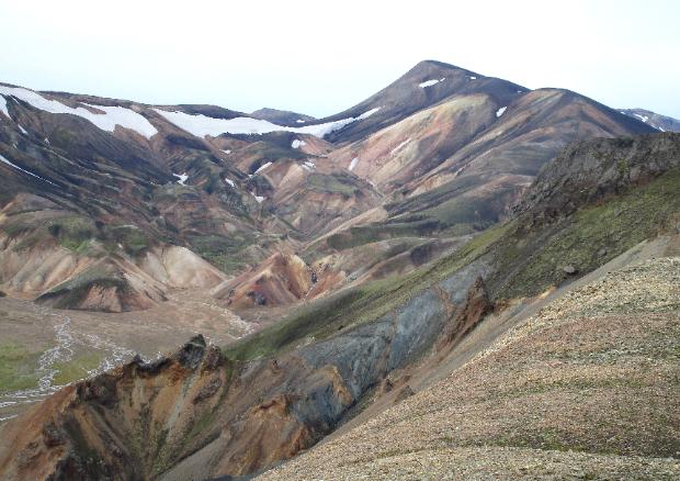
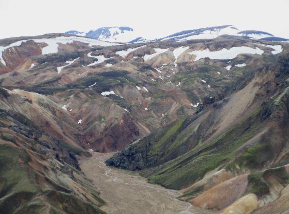
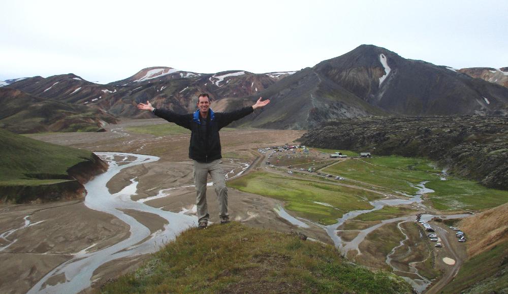
| Landmannalaugar really is quite stunning -- and it's especially fun if you’re a photographer |
| Sudurnamur -- Landmannalaugar, Iceland |
Another great day in Landmannalaugar where
we did a longer hike than yesterday called
Sudarnamur. It was 5½ miles (8.5 km) long with
an elevation gain of about 1,000 feet (300 m).
We hiked along the road then hit the trail and
began a steep climb, reaching one peak only to
descend and climb another. More or less we
were ascending a long ridgeline higher and
higher with the views getting better and better.
It was fairly hard hiking but with great rewards.
With stops and a relaxed pace the hike took us
about 4½ hours. The high point was about 3,000
feet (900 m) above sea level. Landmannalaugar
itself is around 2,000 feet (600 m).
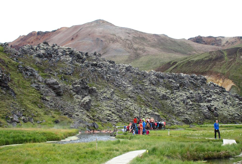
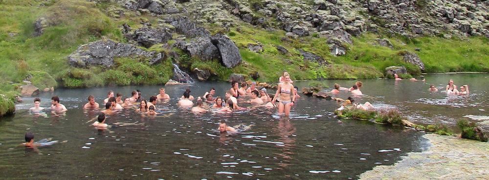
After our hike we took full advantage of the
geothermal hot springs -- another key aspect of
a visit here. Landmannalaugar literally means
"the people's pools." These pools are situated
in a lovely natural setting and are free to use.
A hot waterfall and a hot inlet stream let you
position yourself in different parts of the pool
to get hotter or cooler. In fact it's possible for
your feet to be hot while your hands are cool!
We soaked our cares away, feeling like we
were in heaven after all the hard hiking of late.
we did a longer hike than yesterday called
Sudarnamur. It was 5½ miles (8.5 km) long with
an elevation gain of about 1,000 feet (300 m).
We hiked along the road then hit the trail and
began a steep climb, reaching one peak only to
descend and climb another. More or less we
were ascending a long ridgeline higher and
higher with the views getting better and better.
It was fairly hard hiking but with great rewards.
With stops and a relaxed pace the hike took us
about 4½ hours. The high point was about 3,000
feet (900 m) above sea level. Landmannalaugar
itself is around 2,000 feet (600 m).
After our hike we took full advantage of the
geothermal hot springs -- another key aspect of
a visit here. Landmannalaugar literally means
"the people's pools." These pools are situated
in a lovely natural setting and are free to use.
A hot waterfall and a hot inlet stream let you
position yourself in different parts of the pool
to get hotter or cooler. In fact it's possible for
your feet to be hot while your hands are cool!
We soaked our cares away, feeling like we
were in heaven after all the hard hiking of late.
| There are racks to hang towels and extra clothing at the entrance to the hot springs |
| "The People's Pool" is definitely popular with the people! |
| This photo (taken the day prior when skies were blue) shows the scenic location of the geothermal hot springs that give Landmannalaugar its name. A boardwalk leads all the way from the hut to the pool. |
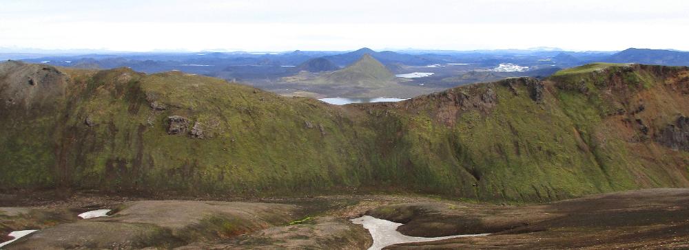
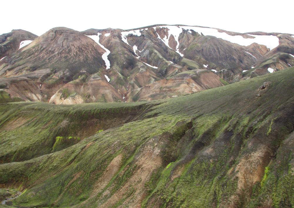
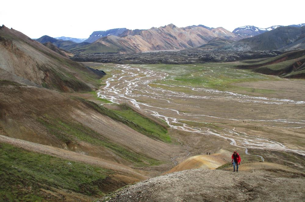
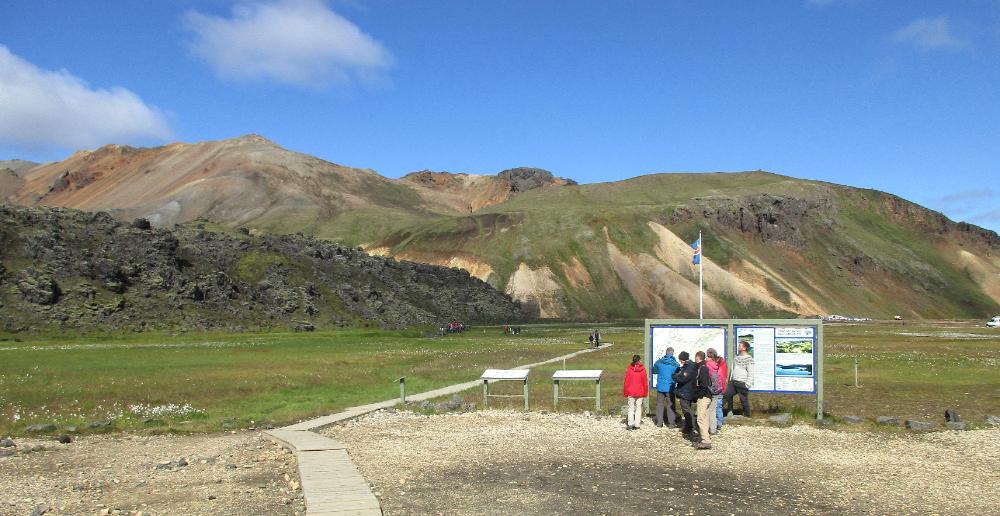
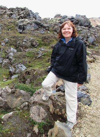
| If you hike Sudurnamur counterclockwise as we did, then you'll finish off with an easy repeat of the flat (but pretty) stretch from yesterday's Brennisteinsalda hike |
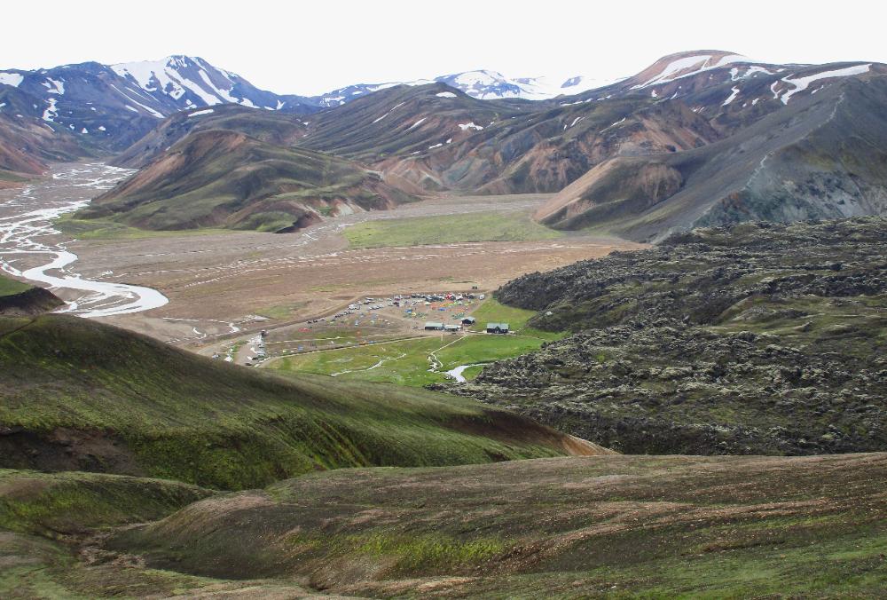
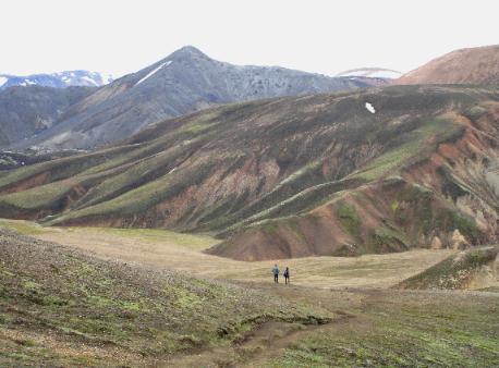
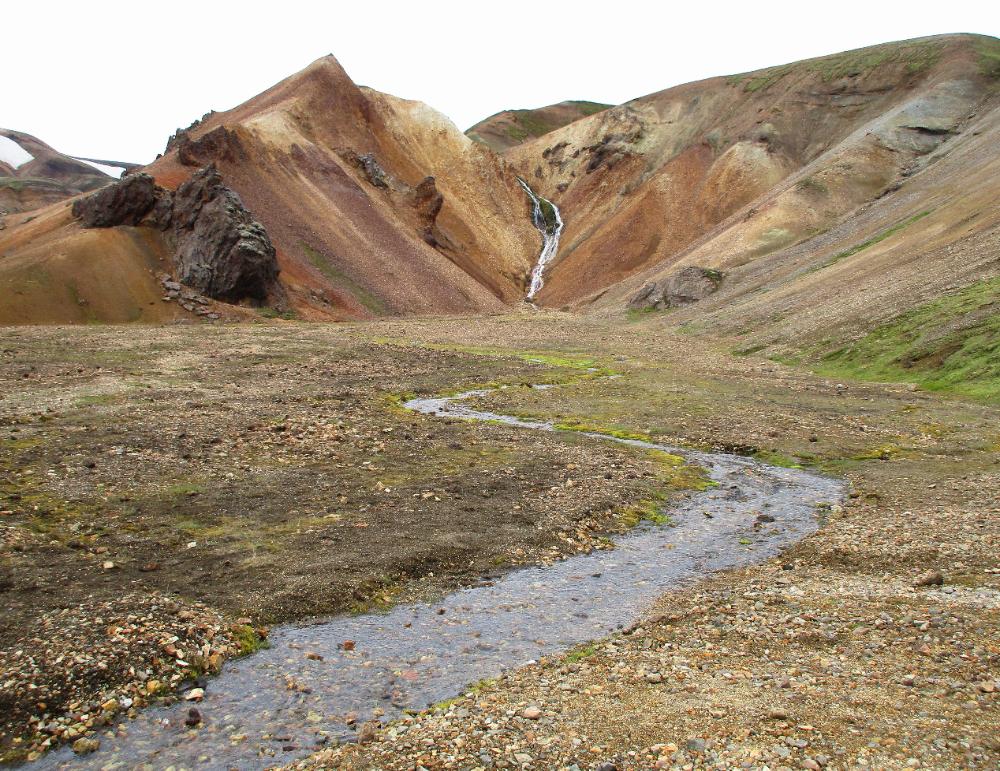
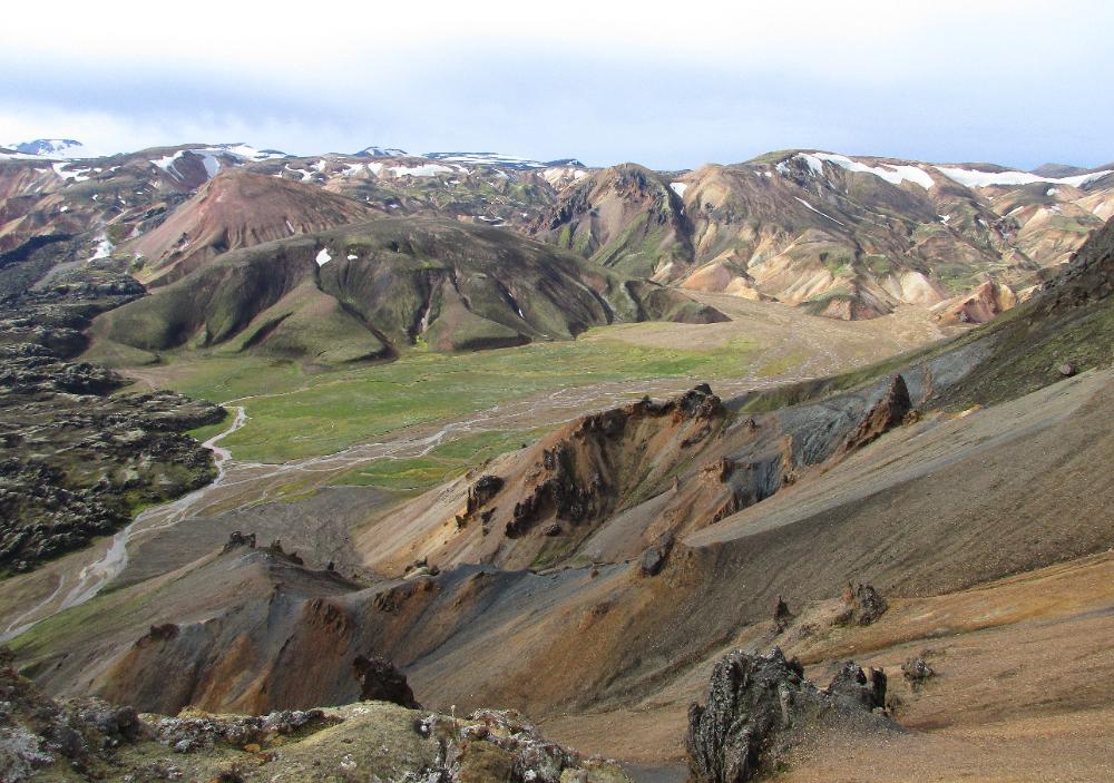
| We're back down to flat land again at this point |
| The hiking is mostly downhill from here |
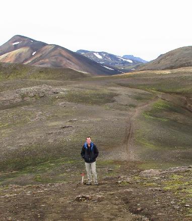
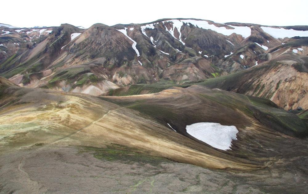
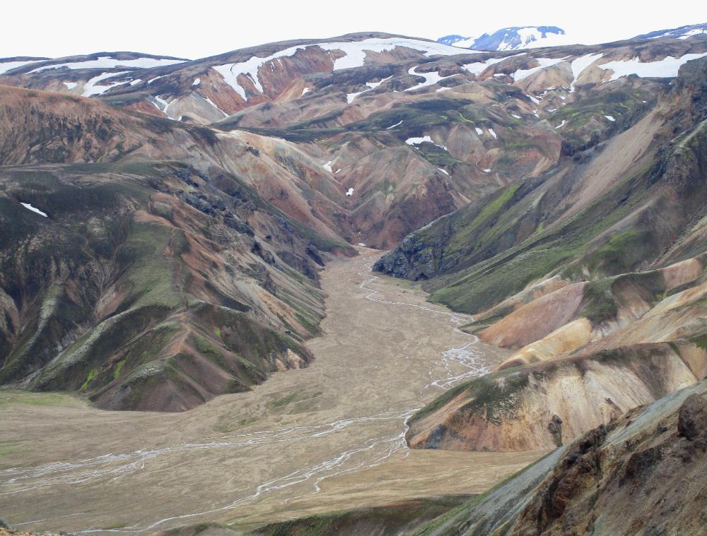
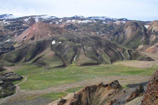
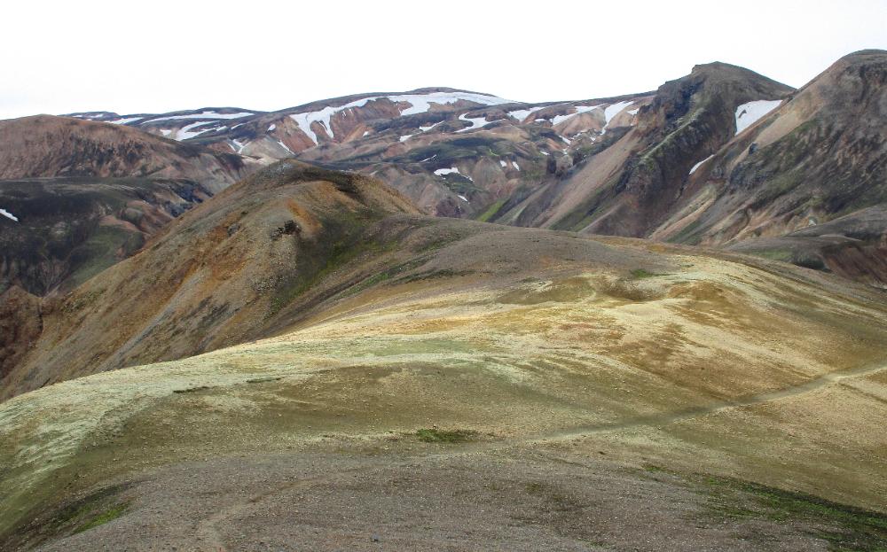
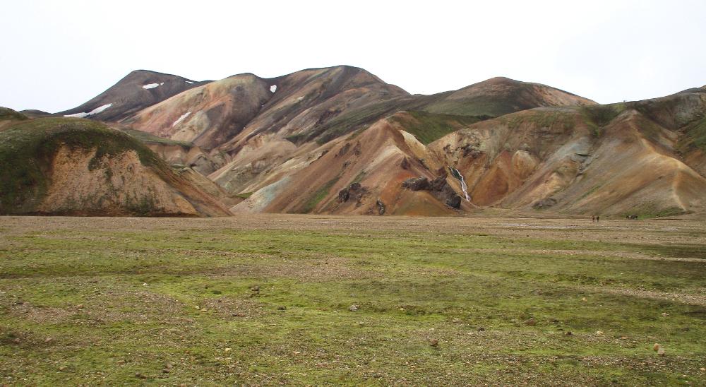
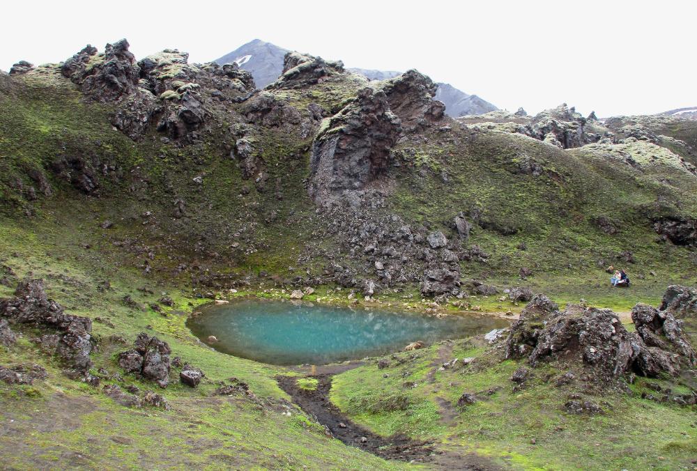
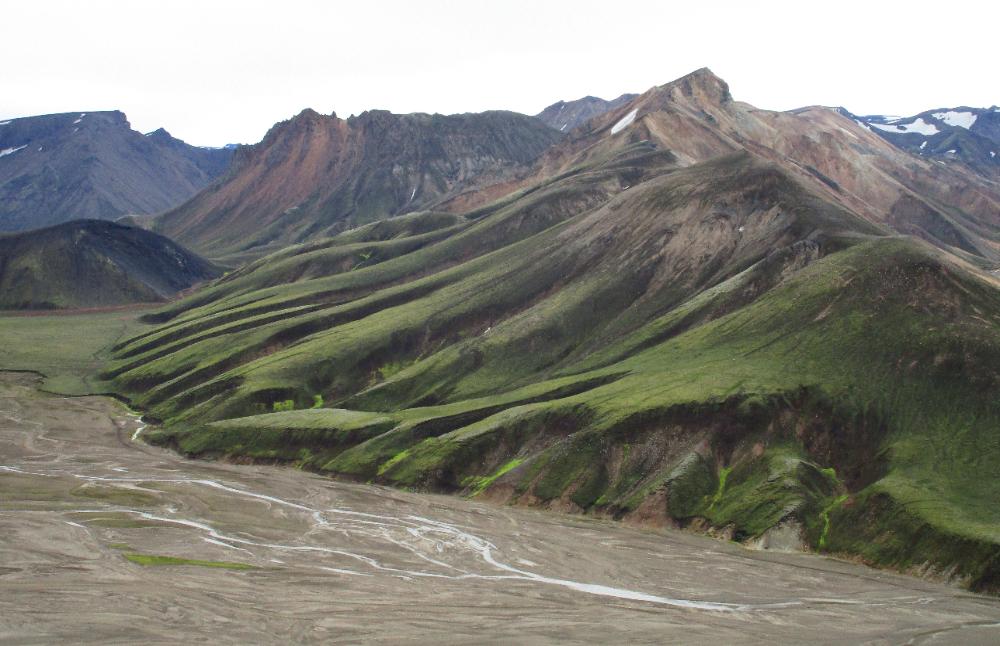
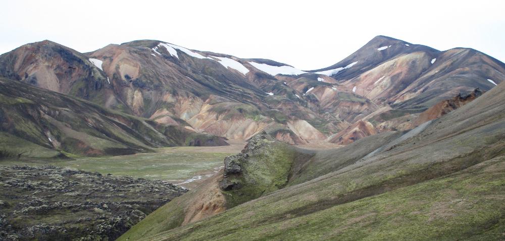
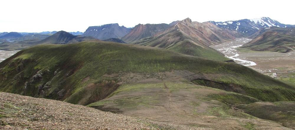
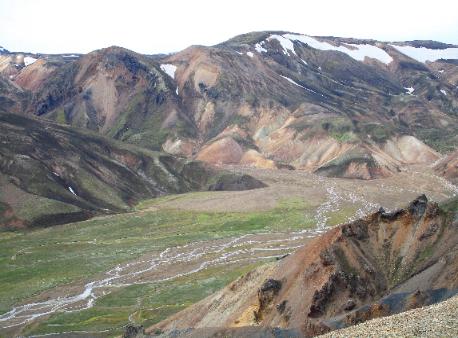
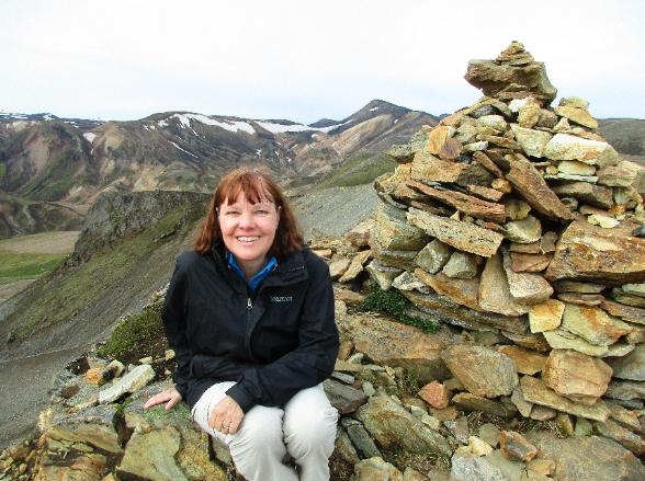
| Grand scenery like this helps explain why more than one warden recommended the Sudurnamur hike as the second hike we should do |
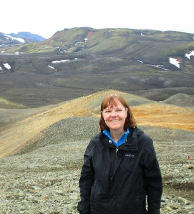
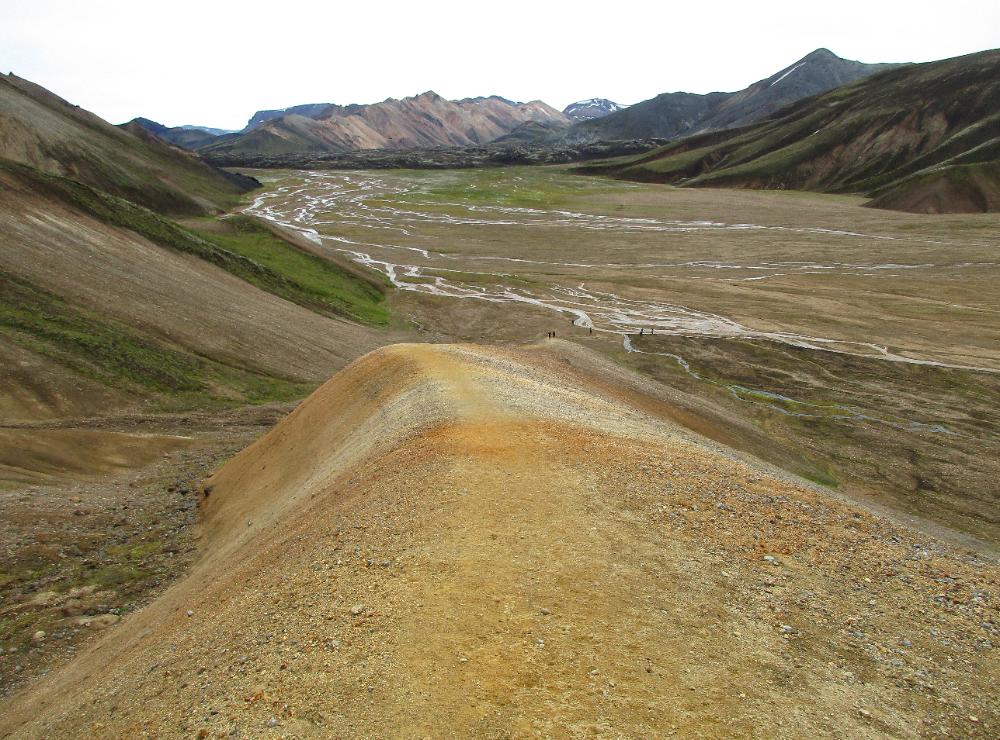
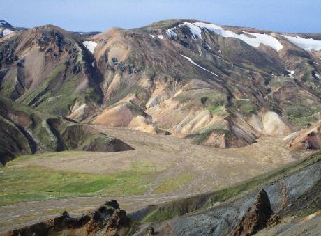
| Our picnic spot -- fantastic! |
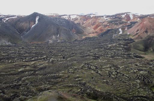
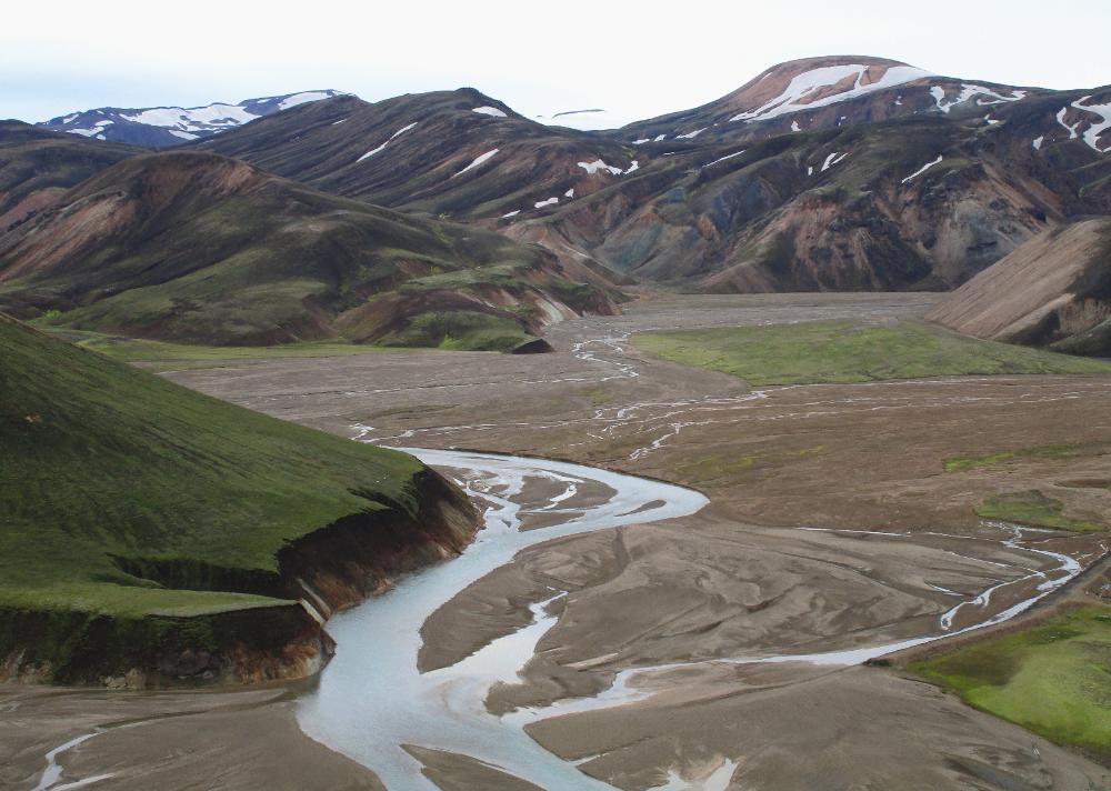
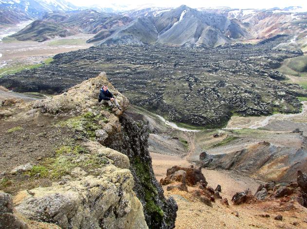
| This photo really shows how Landmannalaugar Hut is tucked up against an ancient flow of black lava |
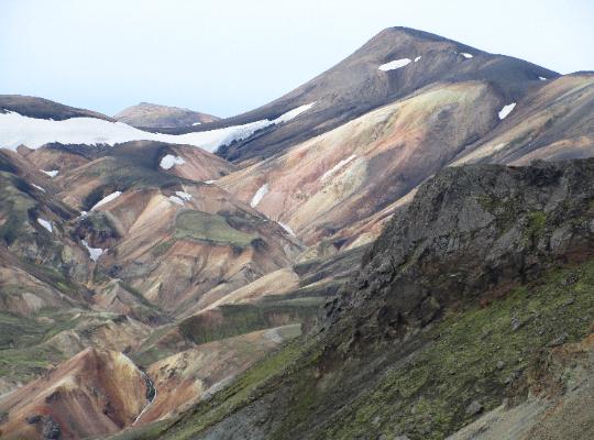
| The hike alternates between steep and easy. Here we're following along the top of a ridgeline offering terrific views. |
| An initial steep climb quickly offers great views looking back |
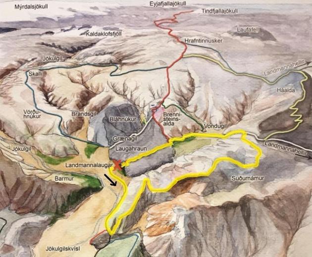
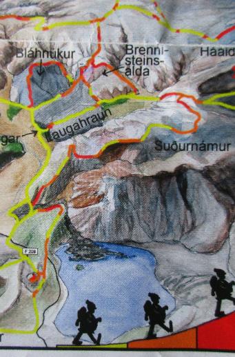
| I've outlined in yellow the Sudurnamur trail we hiked -- 8.5 km (5.5 mi) |
| Orange and red signify fairly steep sections |