Where We Be
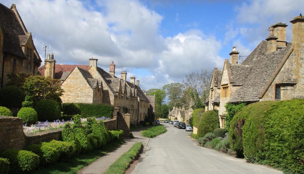
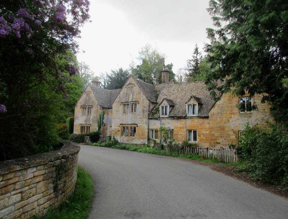
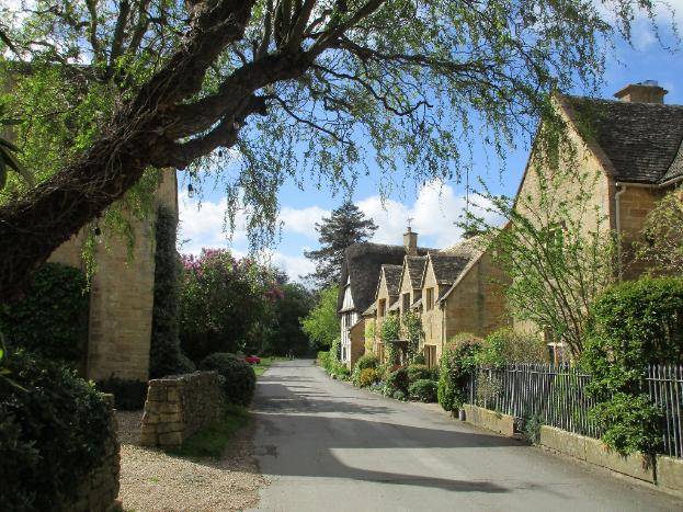
Quintessential Cotswold villages like Stanton are at
the heart of what makes the Cotswold Way special
|
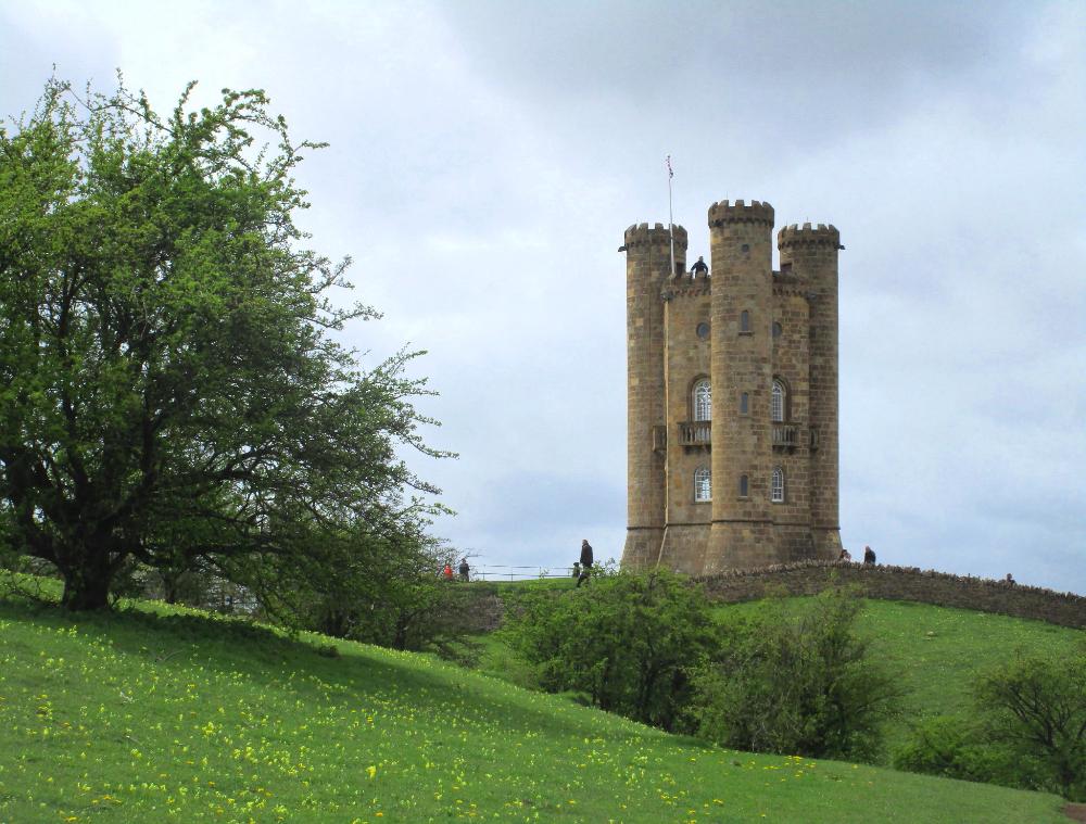
The high point of the hike was Broadway Tower, an iconic 65-foot "mock Saxon" castle folly
|
From Broadway Tower, a steepish descent led us down to the town of Broadway
|
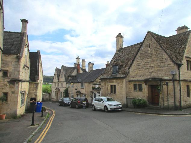
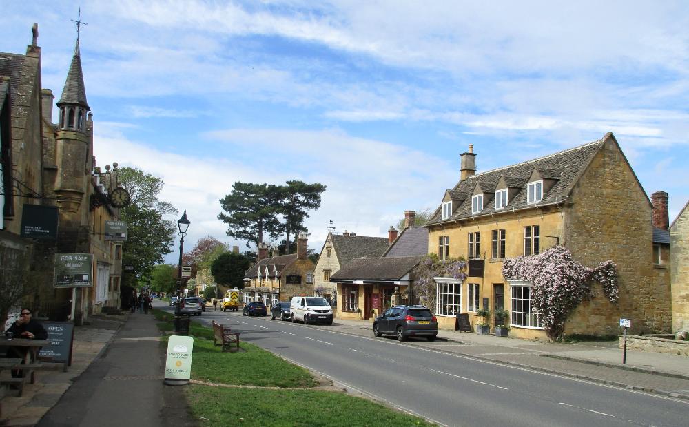
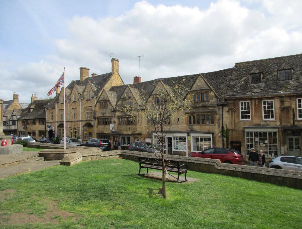
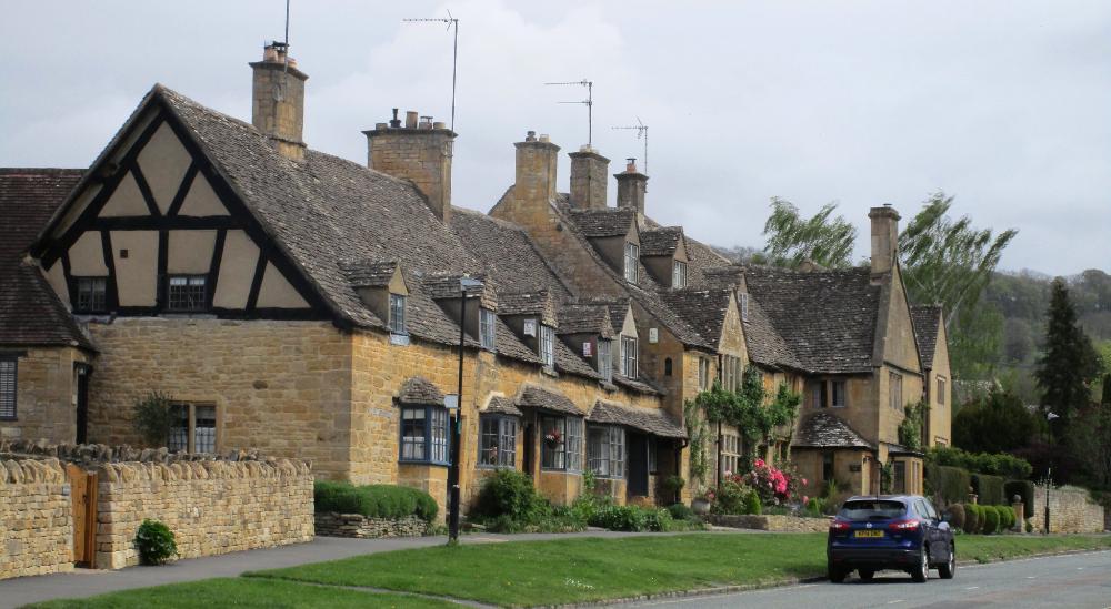
Broadway is famous for its wide High Street lined with 16th-century cottages
|
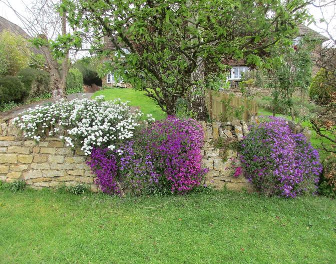
One especially nice thing about hiking in April is the blooming flowers
|
This first day was an easy one -- and pictureseque Broadway was certainly a worthwhile stop
|
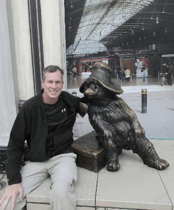
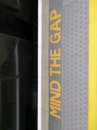
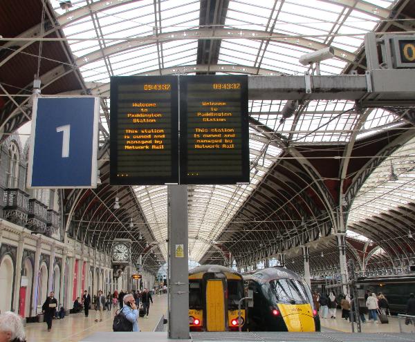
Getting There: Paddington Station
|
Chipping Campden makes for a beautiful start to your adventure
|
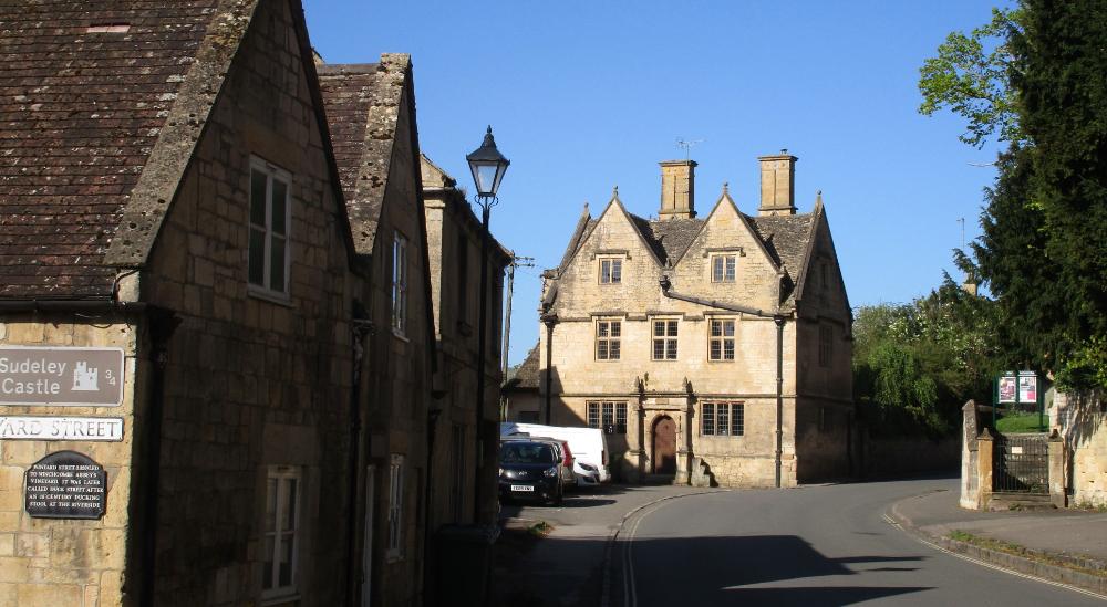
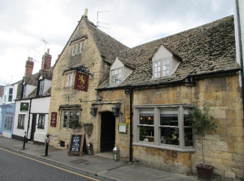
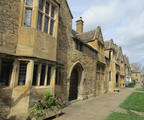
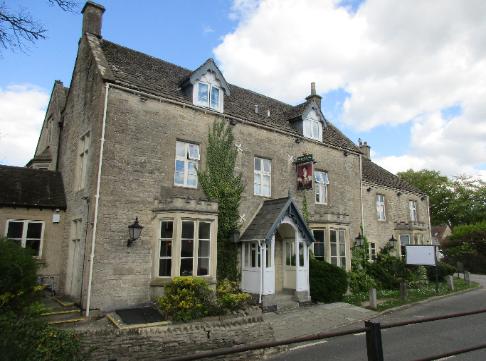
Cotswold villages (including Chipping Campden) are famous for their honey-colored stone architecture
|
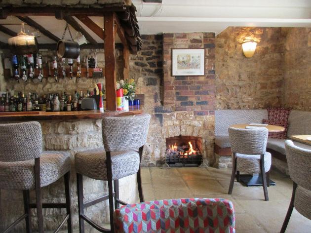
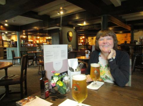
We sipped on pints of Cotswold Pale Ale at the Lygon Arms pub,
accompanied by a delicious order of their fish and chips
|
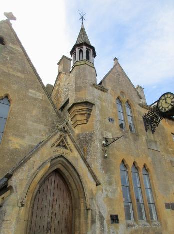
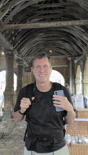
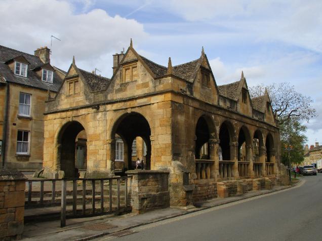
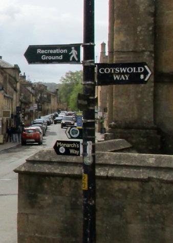
Market Hall (across the street from Bantam Tea Rooms) represents the starting point of the Cotswold Way
|
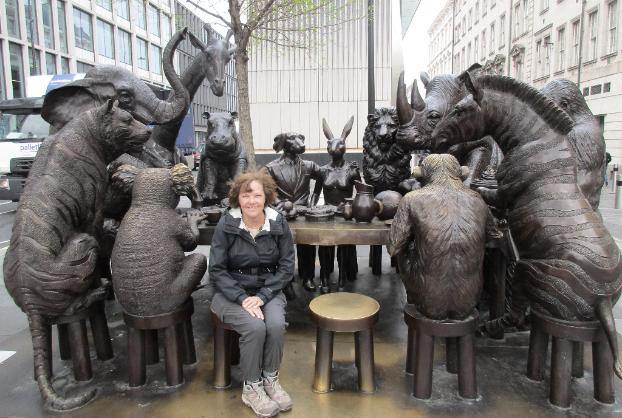
We had fun posing with Paddington Bear inside the station -- and "The Wild Table of Love" just outside
|
Multiple trains per day leave from Paddington Station to Moreton-in-Marsh (about 1½ hours
away). From Moreton-in-Marsh you can take a bus or an Uber to Chipping Campden.
|
The Starting Point: Chipping Campden
|
Chipping Campden to Broadway (~6 miles)
|
We detoured in the early morning to St. Peter’s Church in Cheltenham.
Robin's ancestors are buried in this church, so it was a must-see for her.
|
As we hiked out of town, we heard church bells behind us from Winchcombe on a Sunday morning
|
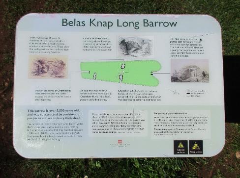
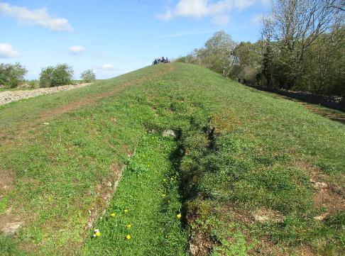
Eventually we came to Belas Knap, a well-preserved chambered longbarrow.
Built around 3000 BC, it features four burial chambers used for communal burials.
|
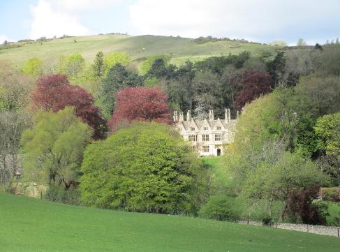
A country manor peeks out from behind the trees
|
Cleeve Hill, the highest peak in the Cotswolds at 1,083 feet, was a challenge with packs.
It represented the halfway point of our day. The views from the top were beautiful.
|
Winchcombe was once the Saxon capital of ancient Mercia. It's known as the
“walking capital of the Cotswolds” because of all the trails that lead out from here.
|
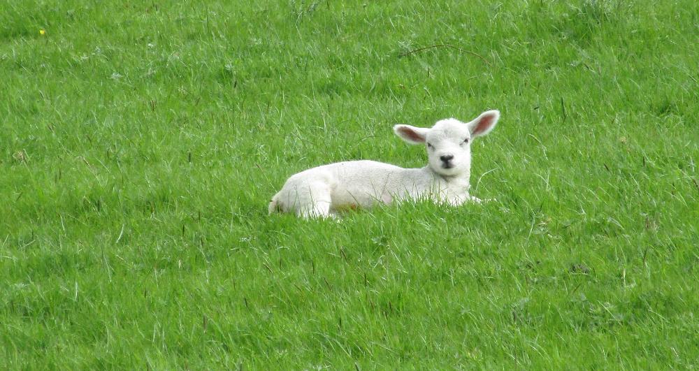
So many lambs, and so cute! The non-toxic "paint" washes out during
the wool-processing stage and helps shepherds identify their flock.
|
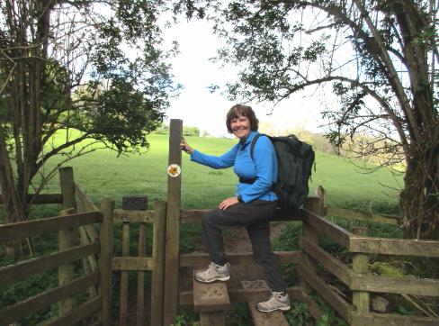
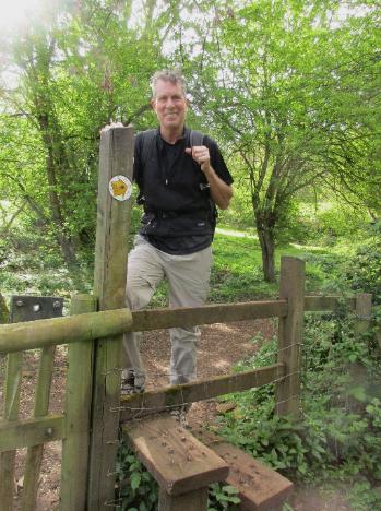
Stiles are all part of the charm of a Cotswolds hike
|
Eventually we came to the charming village of Stanton --
one of our favorites of the entire Cotswold Way
|
Not a café in sight, but what picturesque cottages
|
The next village was Wood Stanway, which marked the end of the day's first segment (but some days
like this one consist of two segments). We were surprised to find no eating options whatsoever here.
Over time we learned to bring a sandwich or some snacks along with us for just such an occasion.
|
April is lambing season -- an unexpected (and delightful) surprise for us
|
After some 12 miles we reached the large town of Winchcombe and checked into
the Lion Inn. We celebrated with dinner and pints in the cozy pub downstairs. We
got to talking with some of the locals and ended up staying for several hours -- fun!
|
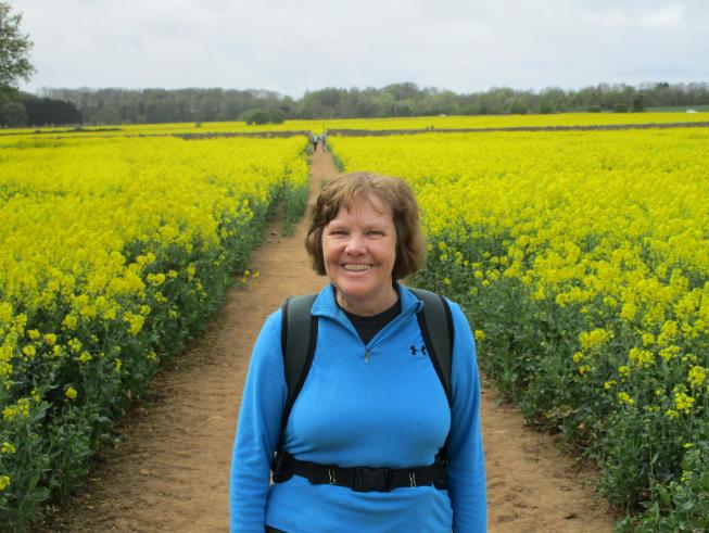
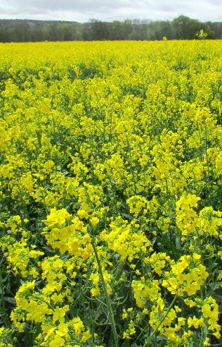
Perhaps the most beautiful part of the day's hike was walking through blooming fields of canola flowers
|
After a full English breakfast at Bantam Tea Rooms, we were off and running ... well, not running, but walking with purpose
|
Broadway to Winchcombe (~12 miles)
|
Broadway is known as the “Jewel of the Cotswolds”
|
Winchcombe to Dowdeswell (~13 miles)
|
Dowdeswell to Birdlip (~10 miles)
|
A highlight of the day was Painswick Beacon (the marker at the top), which offers panoramic views
|
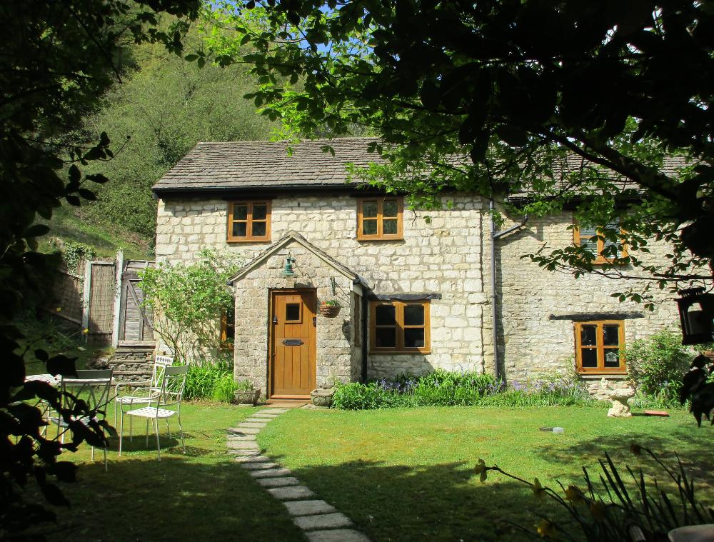
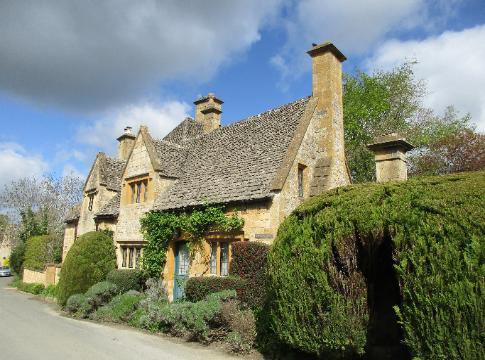
Picturesque cottages like this one can be found all along the route
|
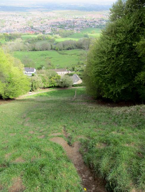
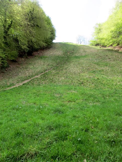
Cooper Hill features an annual cheese-rolling event. Contestants chase a
9-pound Double Gloucester cheese wheel down the nearly 50% gradient, often
tumbling and falling, with the aim of winning the cheese and fame at the bottom.
|
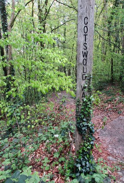
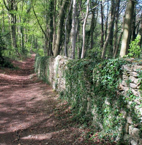
The woodlands of the Cotswold Way are a real treat, filled with birdsong and dappled sunlight
|
Painswick represents the midpoint of the Cotswold Way.
It's known as “the Queen of the Cotswolds.”
|
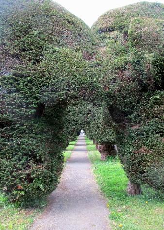
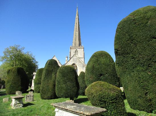
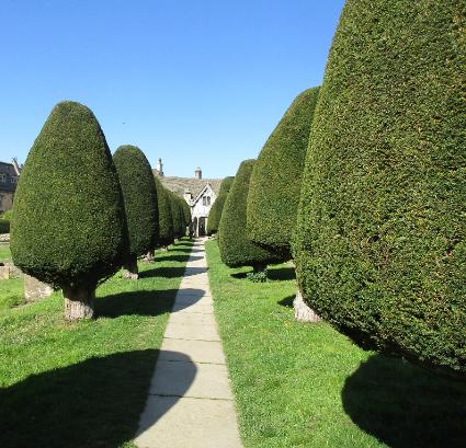
The church boasts 99 ancient yew trees (plus one new yew planted at the millennium).
Painswick also features a famous Rococo Garden that (alas) we didn't get to visit.
|
Birdlip is the rare Cotswold town on top of a hill rather than in a valley. We stayed at the
Royal George Hotel, the only hotel in town, and enjoyed pints and a meal in their fine pub.
(And the amazingly deep tub in our room was perfect for soaking away the day's cares.)
|
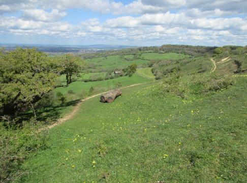
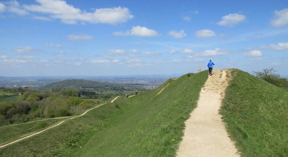
Crickley Hill Country Park was a highlight of the day, offering fine views in all directions
|
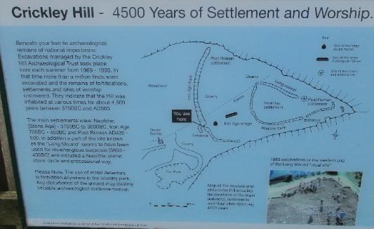
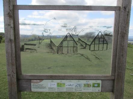
The stone age settlements at Crickley Hill date back to 3700 BC.
No buildings remain, but the site turned up over a million artifacts.
|
Birdlip to Painswick (~8 miles)
|
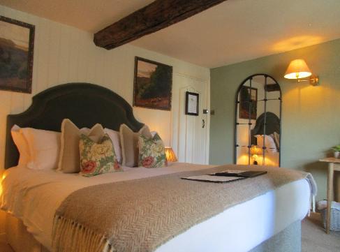
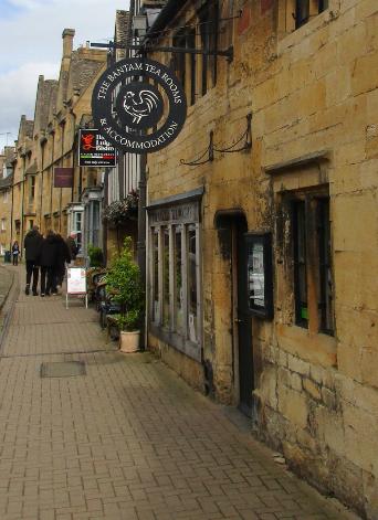
Bantam Tea Rooms -- our first Cotswold lodgings --
just steps from the start of the Cotswold Way
|
The hike is officially 102 miles long -- but we registered more than that. Sometimes the trail
stops outside of town, and some of the official distances seem a bit suspect. A trail app like
AllTrails is invaluable -- but be sure to download each map segment to your phone first.
|
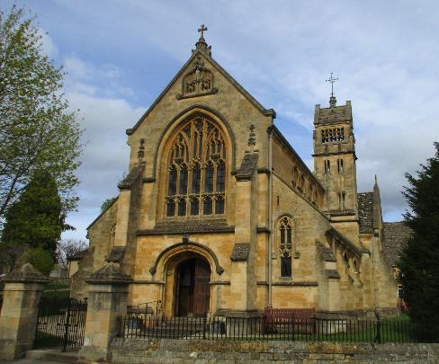
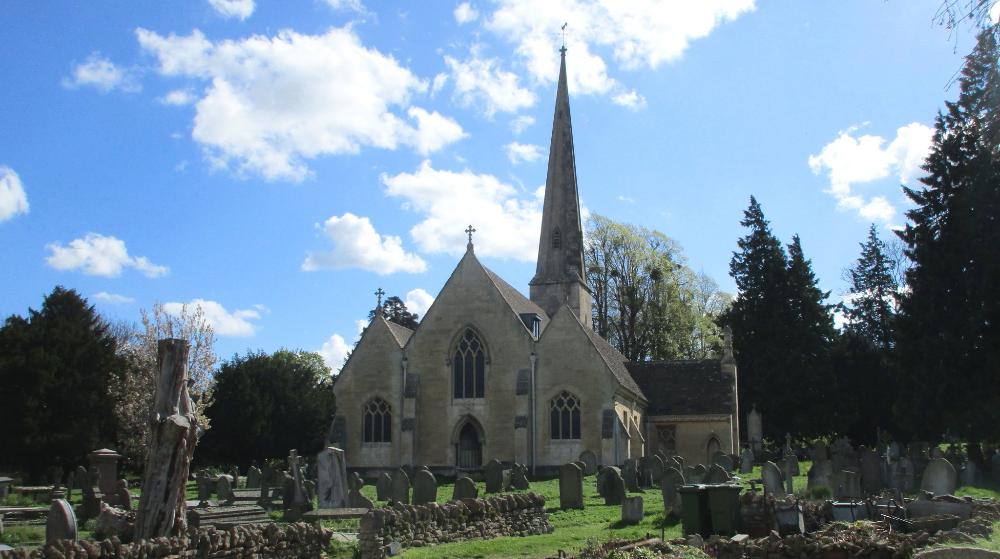
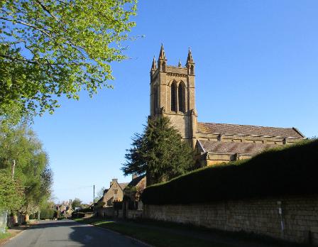
St. Michael Church near our Crown & Trumpet Inn
|
Stiles like this one are commonplace in the Cotswolds.
They help keep the sheep in their respective pastures.
|
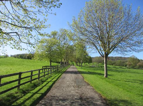
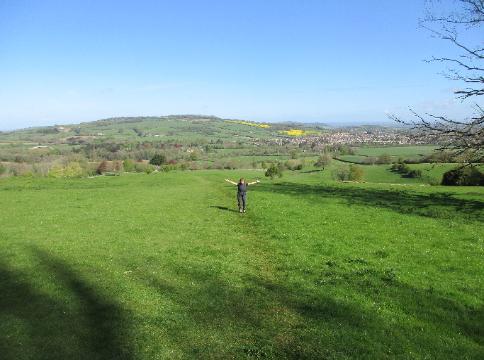
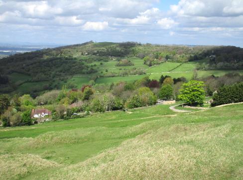
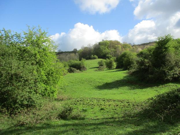
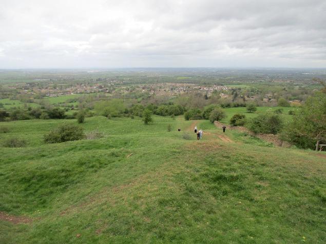
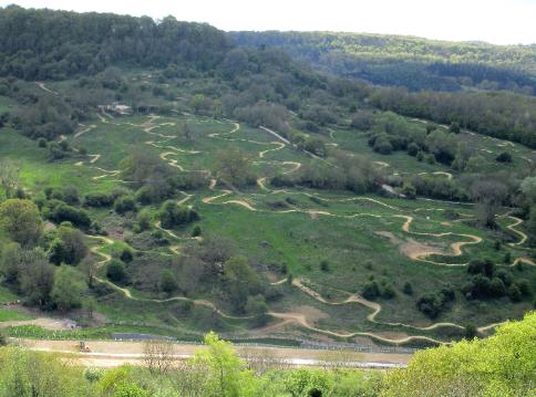
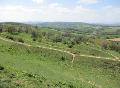
Rolling green hills are typical of the Cotswold countryside
|
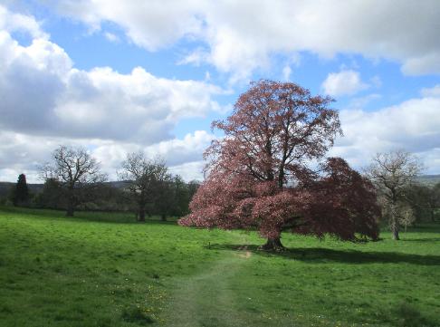
This reddish tree really "pops" in this meadow outside of Stanton
|
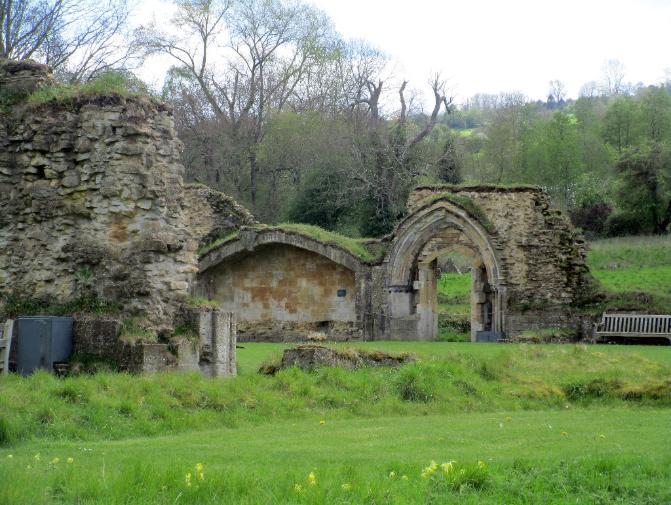
We passed the ruins of the 13th-century Hailes Abbey, once a major medieval
pilgrimage site before being destroyed in 1539 under Oliver Cromwell’s orders. Its
“blood of Christ” relic was denounced as a fraud and said to be honey or duck blood.
|
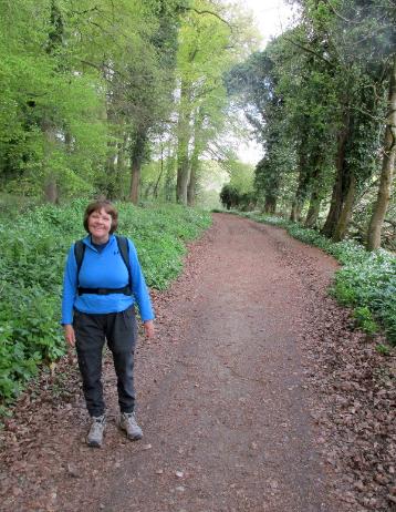
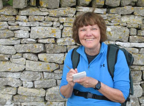
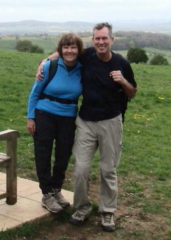
Robin takes notes as we go
|
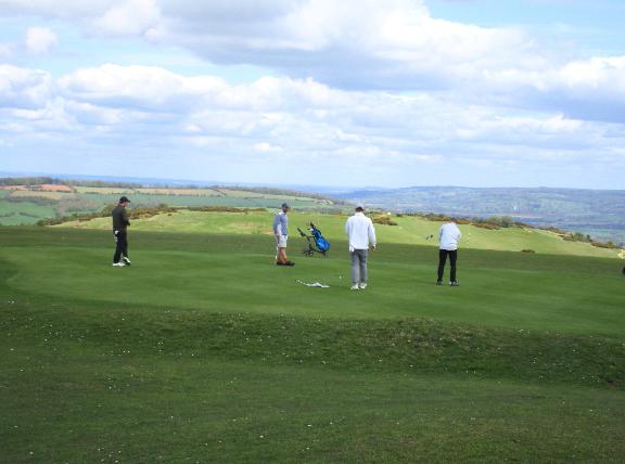
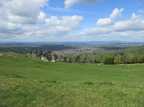
We were surprised to find a golf course on top of Cleeve Hill -- which isn't
so much a single hill as a rolling landscape of hilly terrain that goes on for awhile.
|
Then it's a long, steep descent to Dowdeswell Reservoir. From
there we hiked a "bonus mile" to our namesake lodgings.
|
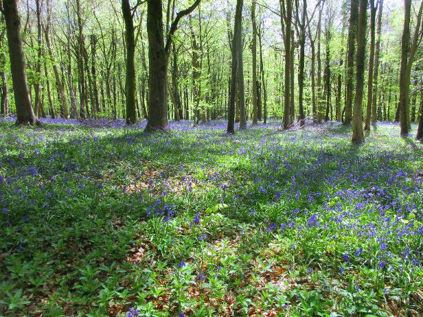
This was an easier day with less elevation gain and loss. Much of the hiking was
through beautiful woodlands, with spring bluebells carpeting the forest floor.
|
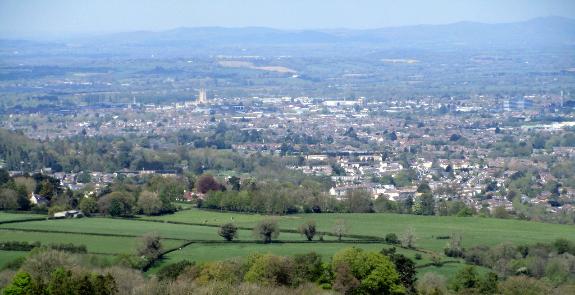
From Painswick Beacon you can see the city of Gloucester
below you -- and all the way to Wales on a clear day
|
A highlight of Painswick is St. Mary's
Church with its ancient yew trees
|
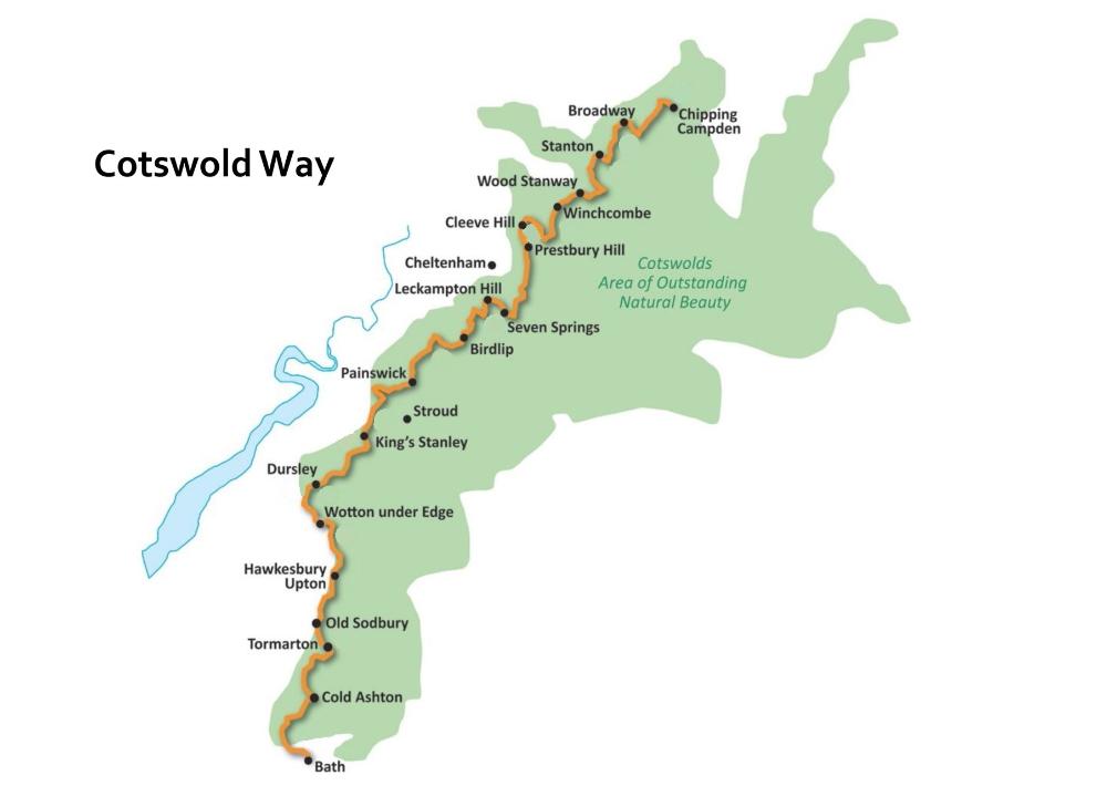
The Cotswold Way is a 102-mile walk consisting
of 15 segments that is typically hiked from north
to south, beginning in Chipping Campden and
ending in the city of Bath. The hike takes you
from one impossibly quaint Cotswold town to
another, passing through beautiful English
countryside along the way. Highlights of our
April trip included spring flowers galore, bird-
song everywhere we went, perfect weather (not
a drop of rain), and of course those picturesque
English towns with their honey-colored stone
buildings. Overall it feels like stepping back in
time as you travel on foot from village to village.
We did the hike in 11 days and found it frankly
harder than expected. Having hiked with packs
in the past on treks like the Camino de Santiago,
we didn't think twice about carrying them on this
trip, but that was ten years ago, and this hike
was steeper on a per-mile basis. You see, most
segments of the Cotswold Way begin in a valley
town, then climb to the top of the Cotswold
Escarpment for fine views before descending
into the next valley, and so on. In hindsight, the
whole hike would have been more fun if we had
simply used a baggage transfer service like
Carry A Bag. So learn from us and do this one
with a daypack for a more carefree experience.