Where We Be


The Cotswold Way is essentially a nature hike
punctuated with picturesque English villages.
Unlike the Camino de Santiago, you won't find
amenities around every corner. Sometimes you
might hike ten miles or more without finding a
place to eat. This surprised us: frankly we
expected more pubs along the way! What we
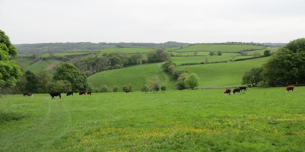
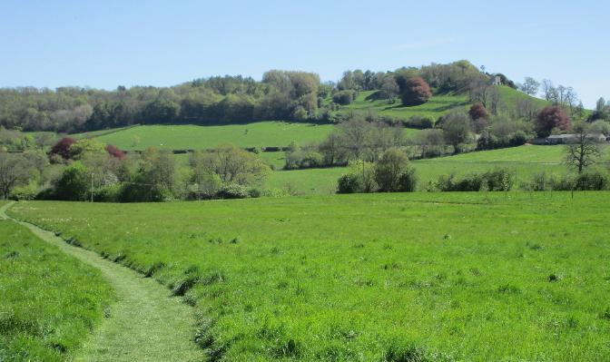
found instead was unspoiled nature: meadows,
woodlands, hills, fields. Even when we came to
a village, some of them were so small they
didn't offer any amenities. We say this not to
discourage you from hiking the Cotswold Way
but to encourage you to bring along snacks or a
sandwich in your day bag. Of course the bigger
towns DO offer amenities, but once you're out
in the countryside, it can be slim pickings.
Another surprise for us was the lack of fellow
thru-hikers. We met plenty of friendly locals
who were exploring one or two segments of the
Cotswold Way, but almost none were going the
whole way. Perhaps the Cotswold Way isn't as
well-known as some other long-distance hikes.
In any case, when we hiked the West Highland
Way in Scotland about a week later, it was quite
the culture shock: suddenly we were amidst
dozens if not hundreds of fellow thru-hikers!
Pro: more cameraderie. Con: less peace & quiet.
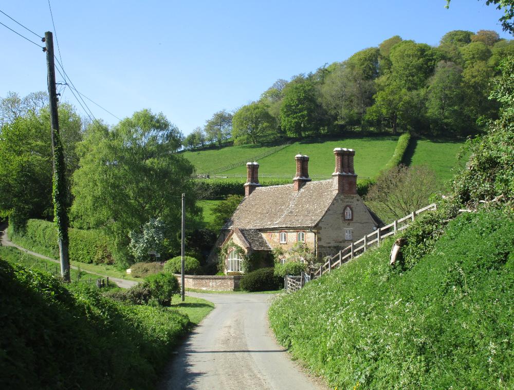
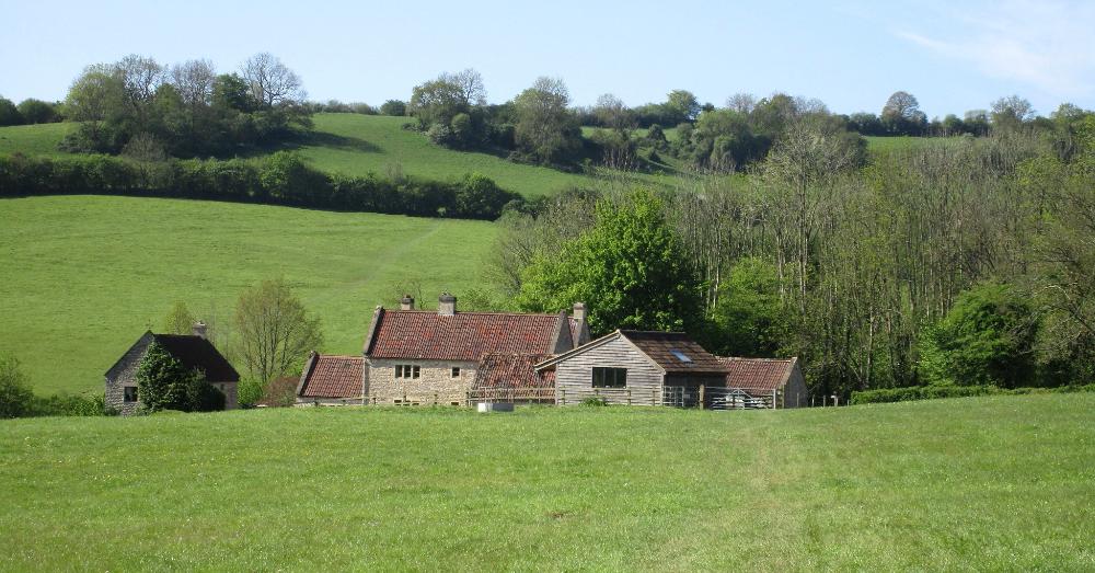
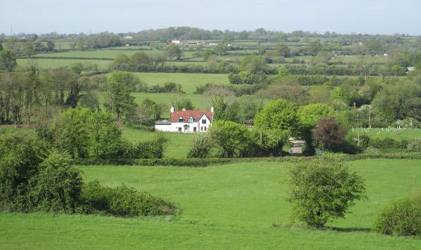
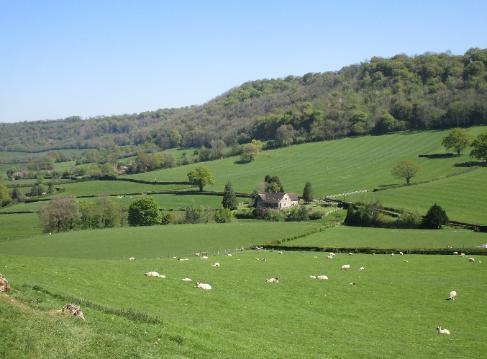
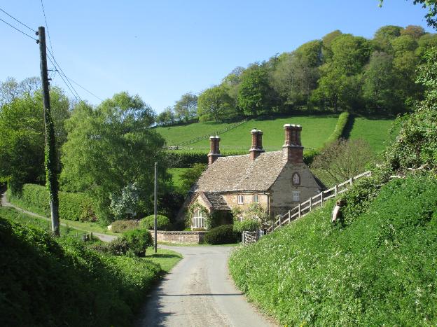
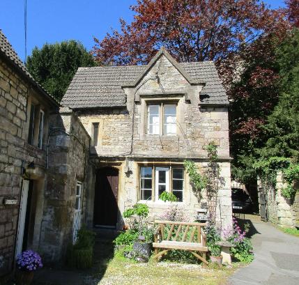
This little cottage on the way to Dursley
looks like something out of a storybook
|
Painswick to King's Stanley (~11 miles)
|
We started our day with a steep climb
up to the Escarpment (no surprise there)
|
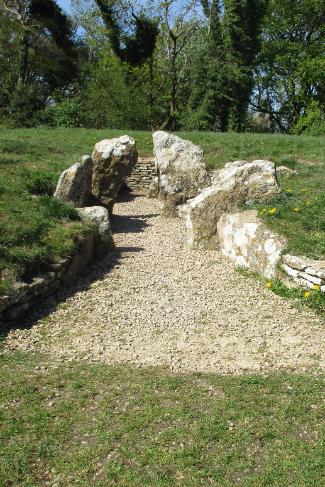
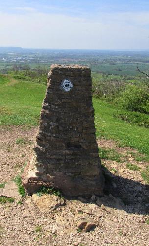
The longbarrow is located atop Coaley Peak, a nature
preserve offering tremendous views of the countryside
|
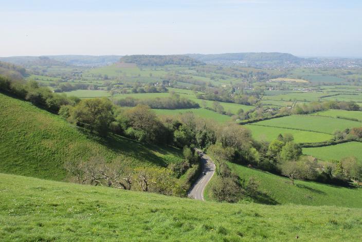
Just beyond Coaley Peak is Cam Peak, which requires
another steepish climb, but the views are delightful
|
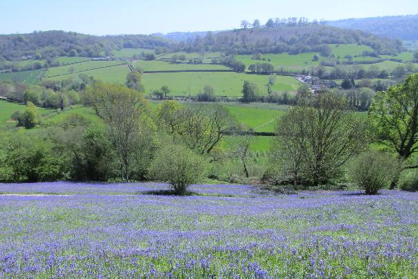
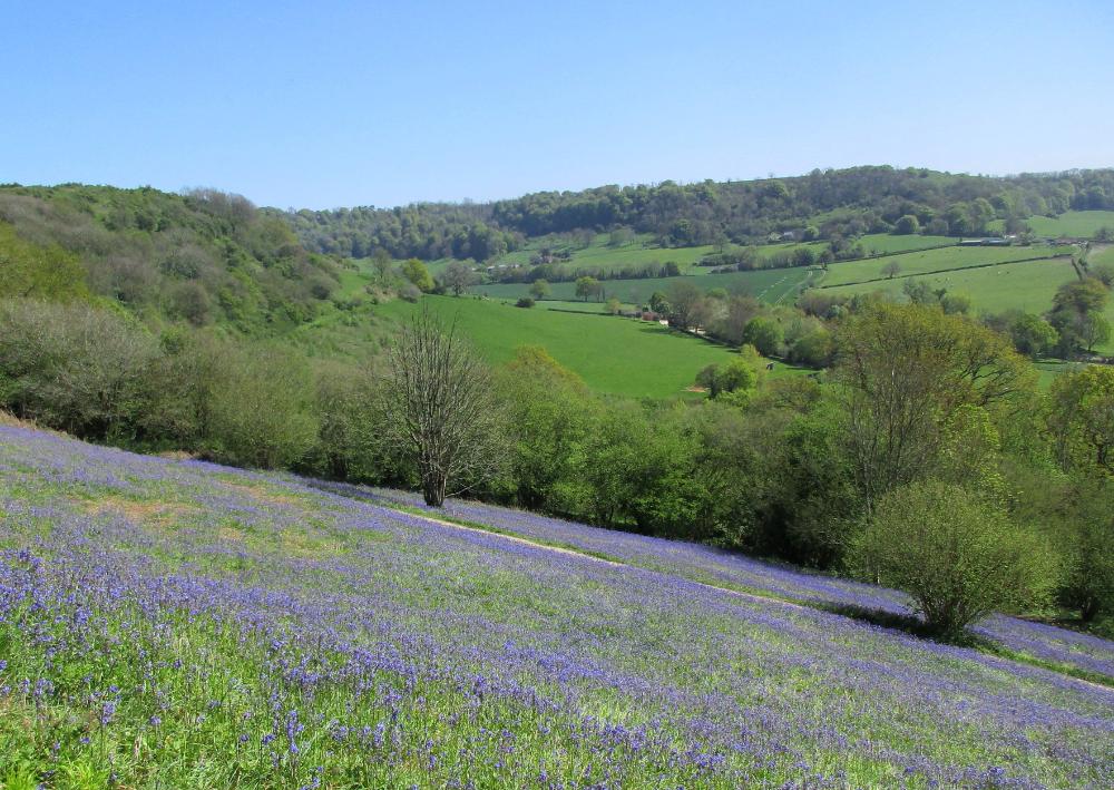
The fields of bluebells at Cam Peak were nothing short of spectacular in late April
|
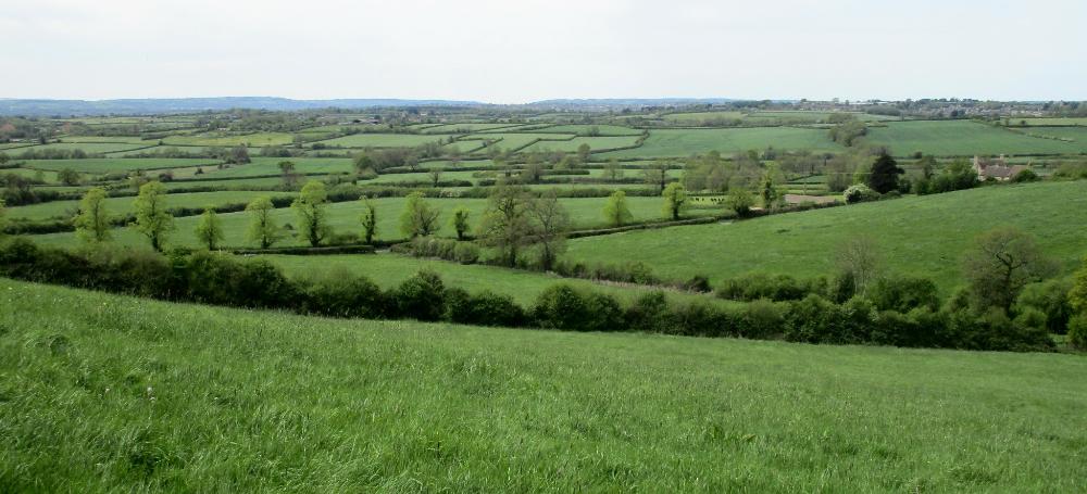
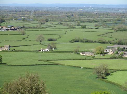
Haresfield Beacon offers panoramic views of green hills and divided pastureland
|
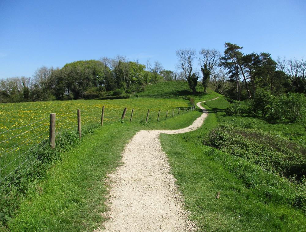
Appealing stretch of trail near Haresfield Beacon
|
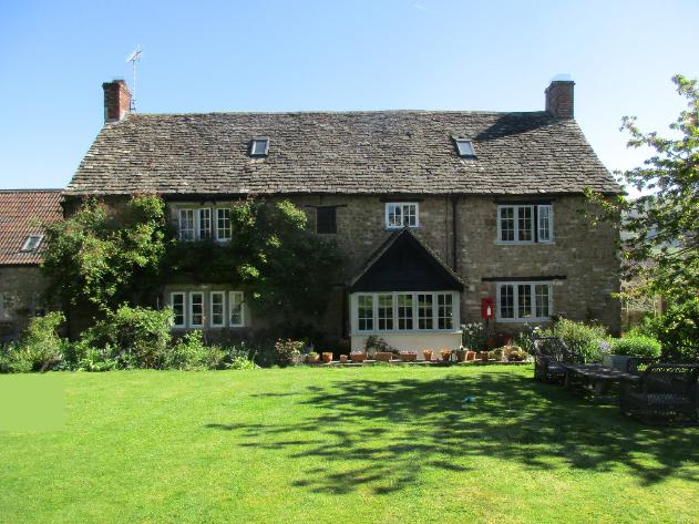
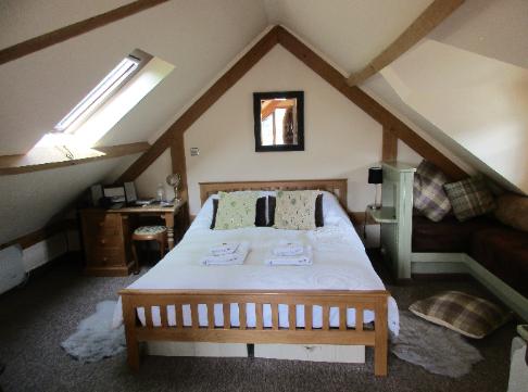
At last -- Forthay Bed & Breakfast! This cozy 17th century farmhouse
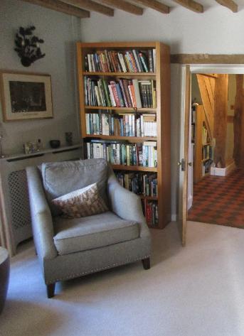
offered us a tranquil retreat with a “cosy snug” (aka living room).
|
King's Stanley to Dursley (~10 miles)
|
Our lodgings were in Forthay, about two miles beyond Dursley -- so it was back
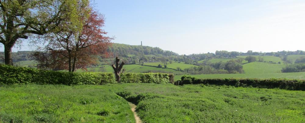
to hiking for us. Far in the distance is the Tyndale Monument near Forthay.
|
It was on this final stretch that we came across the "David Winter" cottage featured at the top of this page
|
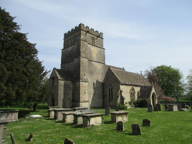
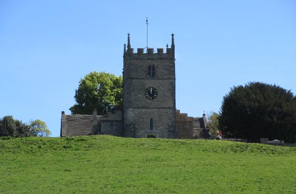
This 11th century village church in Tormarton (St. Mary Magdalene) was listed in the Doomsday Book of 1086
|
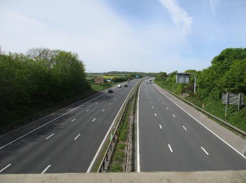
Shortly after Tormarton we crossed over the M4 motorway --
quite the contrast to the quiet meadows just beyond!
|
We passed through the expansive grounds of Dodington Park but never saw the actual estate
|
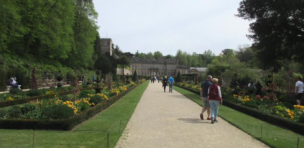
Eventually we arrived in Dyrham -- our halfway point for the day. At Dyrham Park
estate we saw dozens of people strolling through the garden on a Sunday afternoon.
|
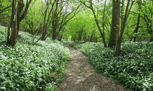
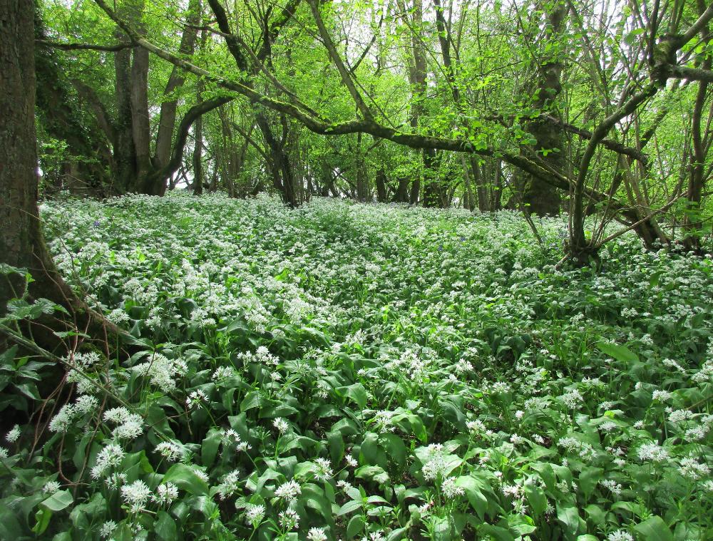
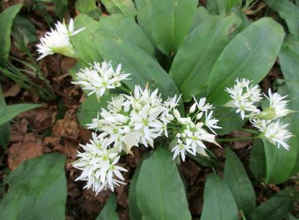
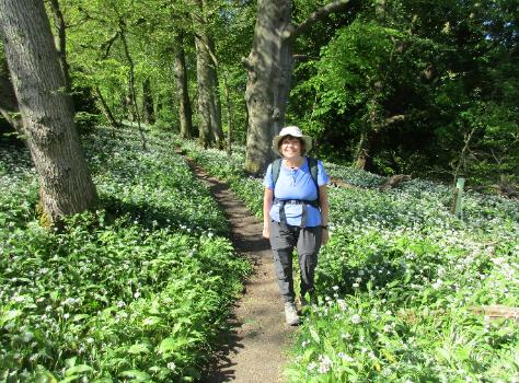
Shortly thereafter we passed through a delightful forest filled with wild garlic
|
The woods feel different here, in part because there is so little undergrowth
other than the ankle-level greenery such as bluebellls or wild garlic.
|
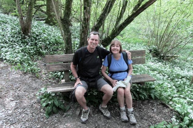
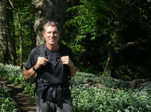
We chatted with the local "keeper" of these woods who took our picture
|
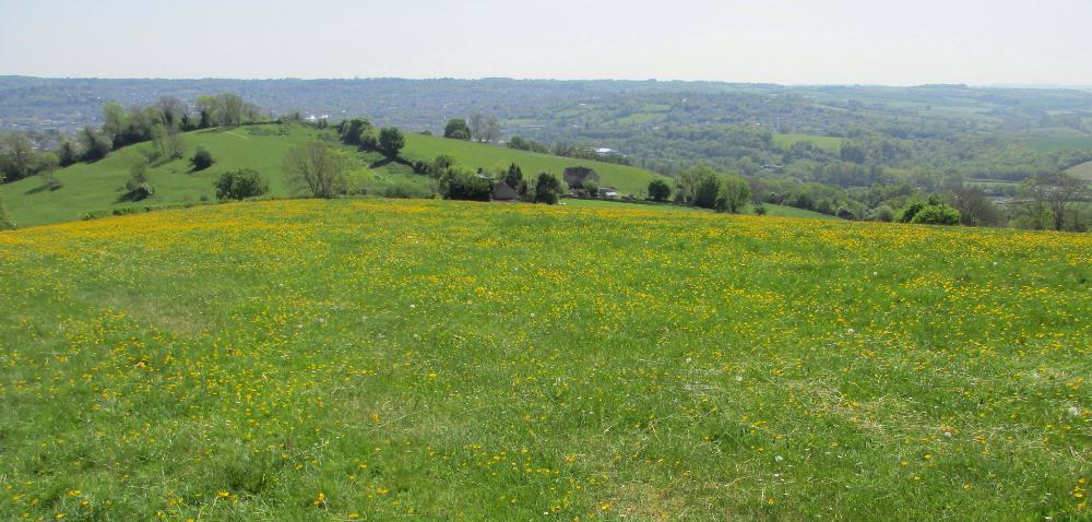
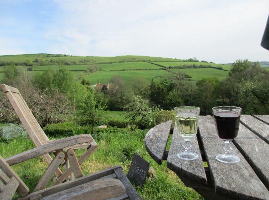
Hill Farm is really out there in the middle of "nowhere," but it's adjacent to the
Cotswold Way and makes for a lovely stop. This is the view from the property.
|
We enjoyed an extended happy hour staring
out at the peaceful view (can you blame us?).
|
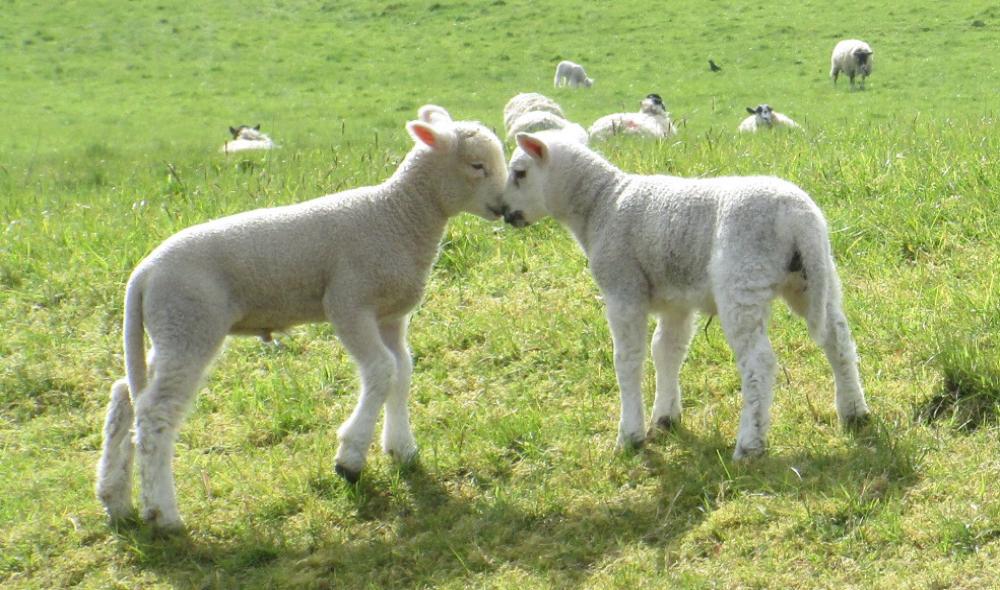
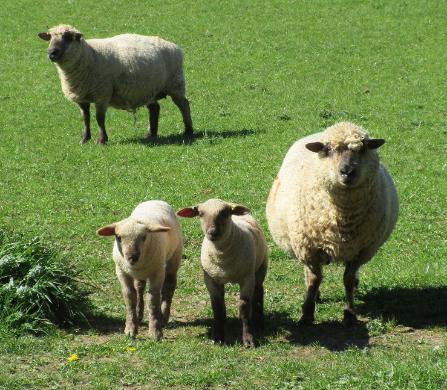
And these two look mischievous!
|
Penultimate day on the trail! And it was a lovely one filled with sunshine and lambs.
|
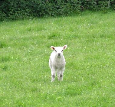
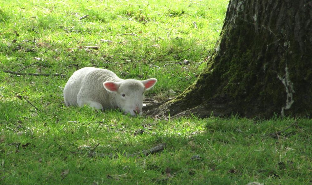
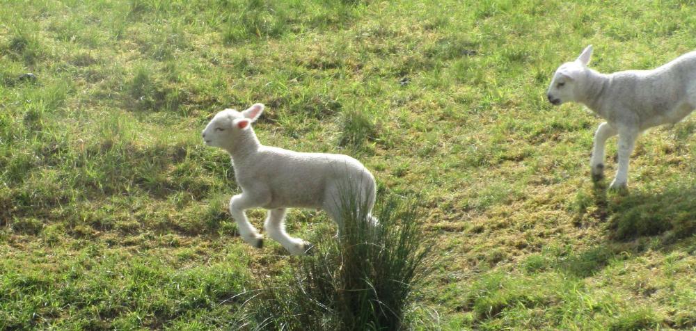
So many lambs, and so cute!
|
This pretty stretch of woodland absolutely
covered with wild garlic -- you could smell it!
|
This was an easy day of hiking for a change -- just 6 miles!
|
We walked through meadows filled with curious lambs
|
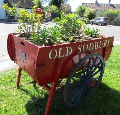
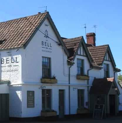
Shortly after passing Old Sodbury Church of England Primary School,
we left the trail and made our way to the Bell Inn in Old Sodbury
|
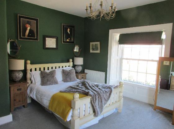
The Bell Inn was worth the detour. We stayed in the
Green Room and splurged on a fine dinner that evening.
|
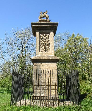
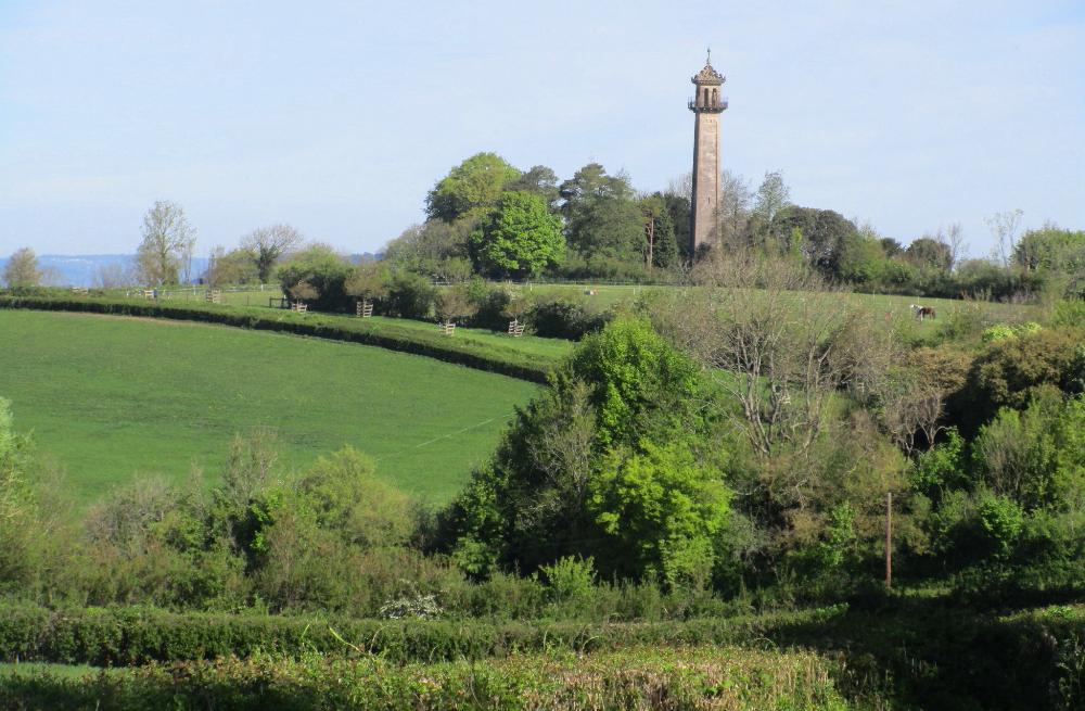
We retraced our steps to the Somerset Monument, a 19th century tower dedicated to Lord Robert
Somerset, who fought at the Battle of Waterloo. From here we rejoined the official Cotswold trail.
|
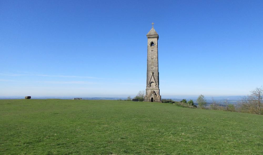
It was a steep climb up to the Tyndale Monument, an 111-foot stone tower built in 1866 atop
Nibley Knoll honoring William Tyndale, the 16th-century translator of the New Testament into English
|
From there we hiked down, down, down to Wotton-under Edge and enjoyed the
sudden appearance of “city life” again, with restaurants and pubs and stores
|
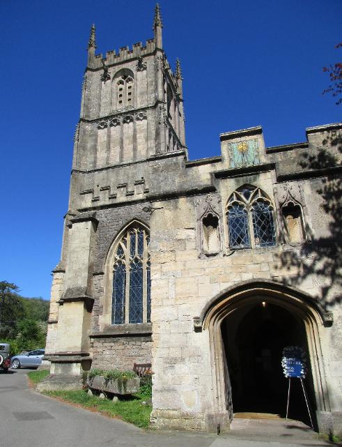
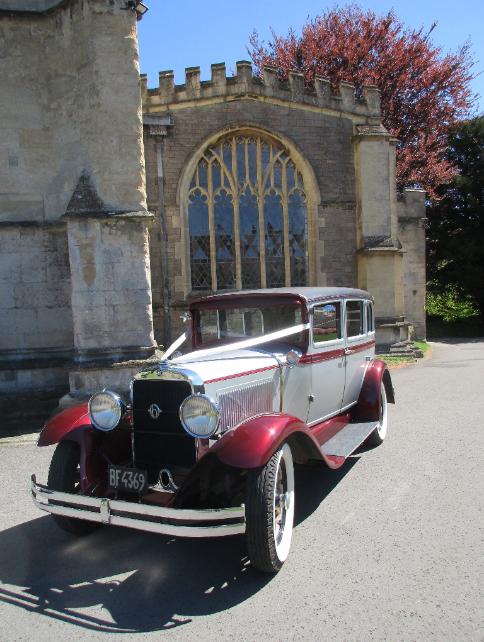
Bells rang incessantly from a nearby church, and we eventually learned it was a wedding
|
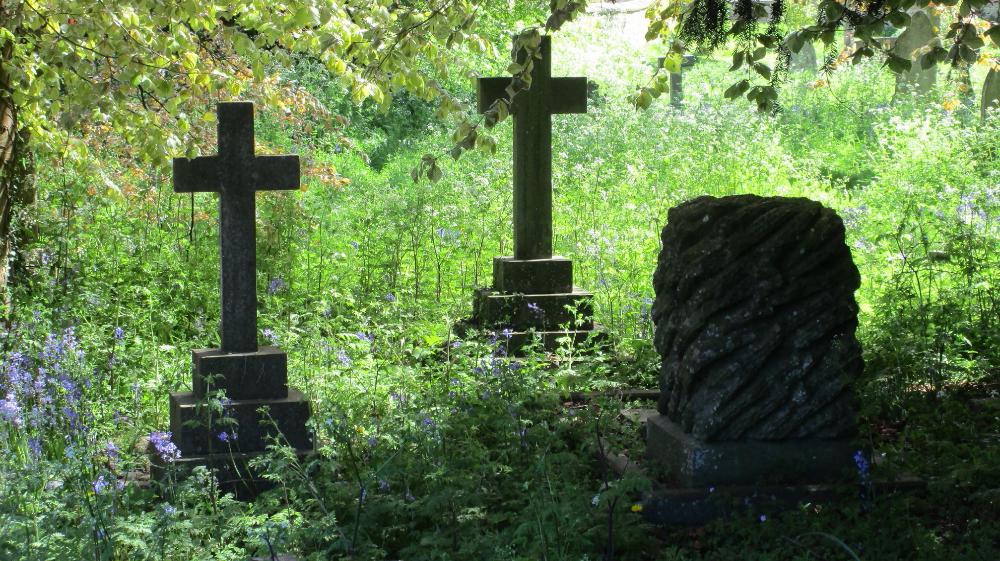
The cemetery behind the church was atmospheric
|
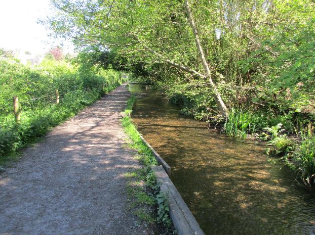
At the edge of town we followed a wide, shallow stream that ran along the path.
Lots of local dog owners were walking their dogs here. What a lovely spot!
|
Another steep climb took us close to Newark Park, a National Trust
Tudor hunting lodge turned country house (a 700-acre estate!)
|
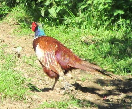
We heard (and saw) dozens of pheasants during this stretch
of the walk. We think they were nesting in the nearby fields.
|
Dursley to Hawksbury Upton (~12 miles)
|
Hawksbury Upton to Old Sodbury (~6 miles)
|
Old Sodbury to Cold Ashton (~11 miles)
|
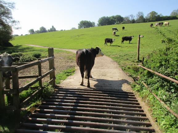
We sidled past this "cow guard" and climbed through the cow-filled meadow beyond
|
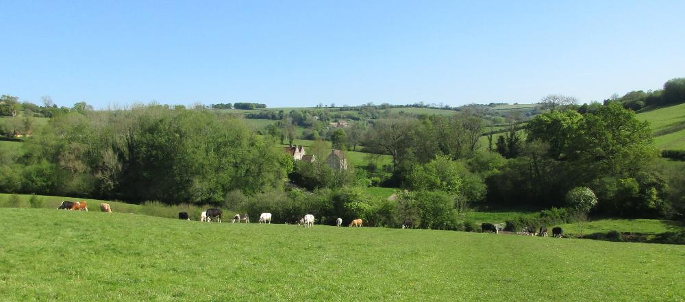
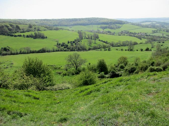
Pastoral scenes greeted us throughout most of the day
|
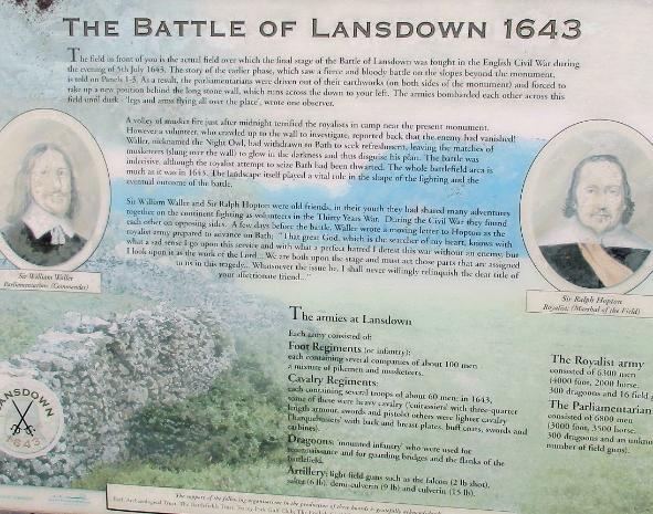
The path took us right past the site of the 1643 Battle of Lansdown
during the bloody English Civil War -- but all is peaceful now
|
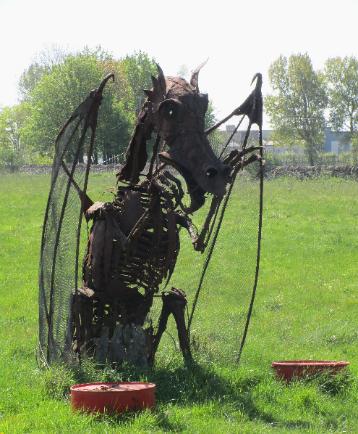
Scrap metal dragon sculpture by David Michael Morse
|
The overall hike trended downhill, but there were still a few sections of up as we neared Bath
|
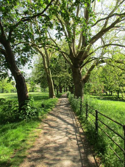
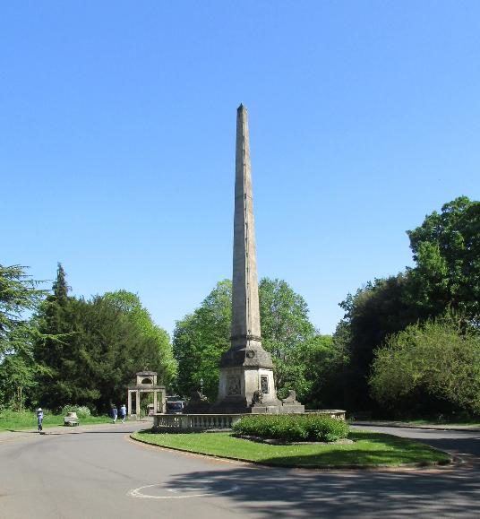
Bath proper! We hiked along the edge of Royal Victoria Park and eventually passed Victoria Obelisk.
|
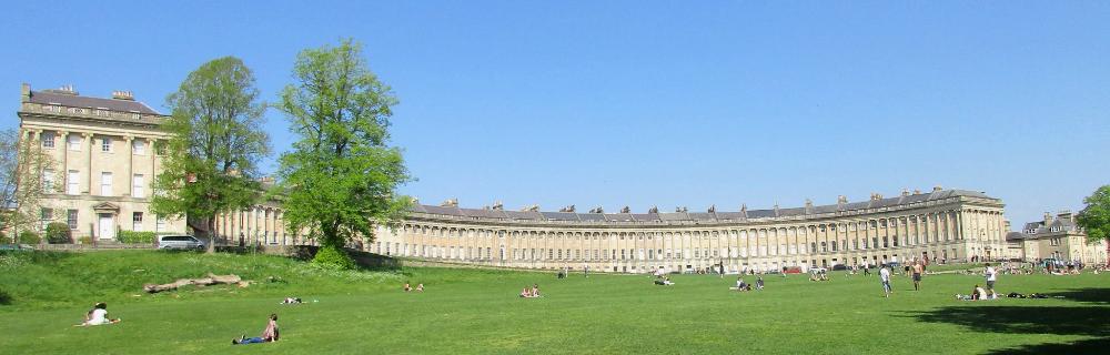
We loved seeing No. 1 Royal Crescent, which in Georgian times served as luxury
accommodation for aristocratic visitors during the social season. The sprawling
green expanse in front was full of locals sun-bathing and enjoying the day.
|
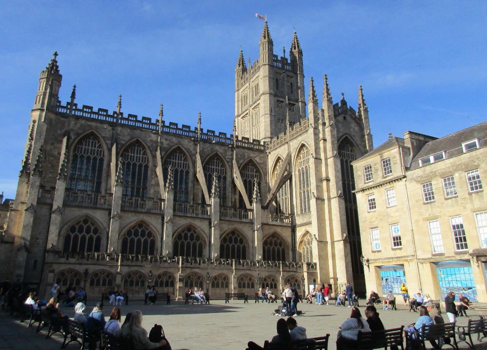
Bath Abbey marks the official endpoint of the Cotswold Way
|
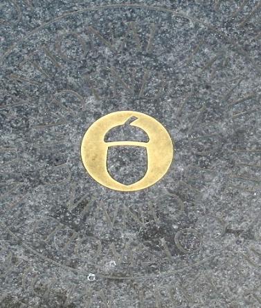
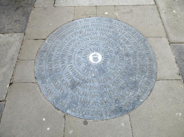
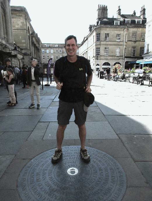
This marker set in the pavement is engraved with key sights along the Cotswold Way
|
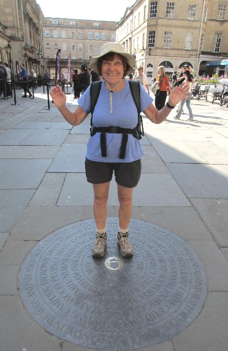
We stood atop the disc and celebrated the end of a long and fruitful journey
|
The final leg to Bath! After ten consecutive days of hiking, it seemed hard enough on tired legs.
|
Cold Ashton to Bath (~10 miles)
|
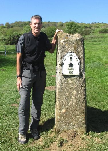
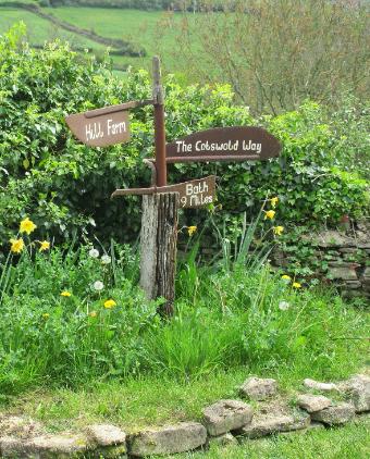
The sign says: "Bath: 55" (miles, that is)
|
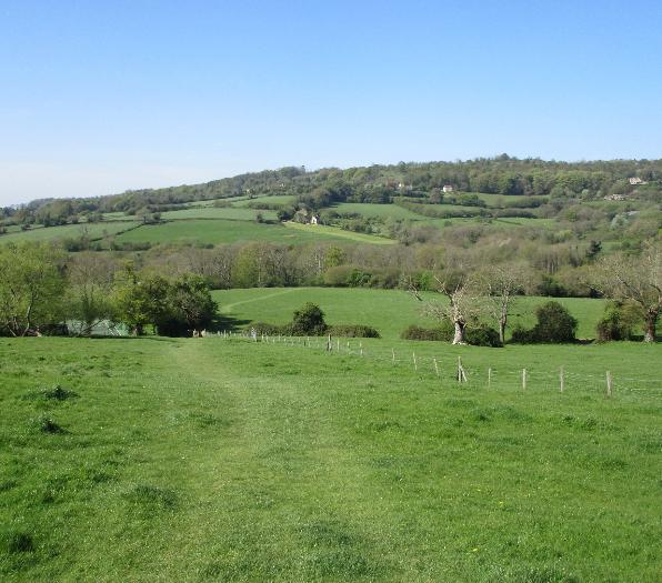
Another lovely day in the 60's with plenty of fine English countryside to enjoy
|
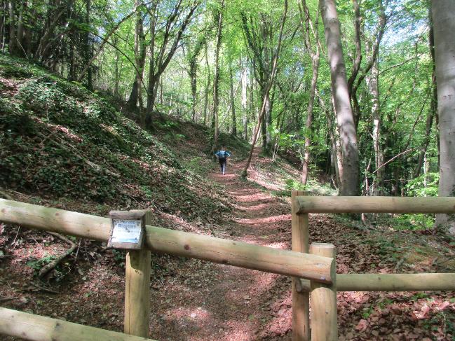
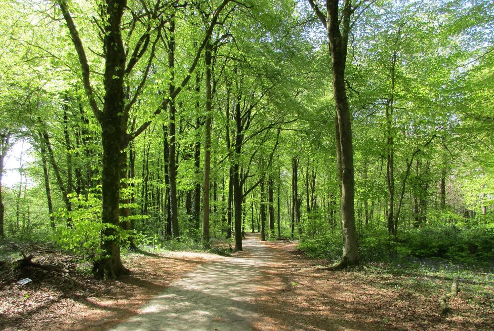
Standish Wood is an ancient beech woodland on the Cotswold Escarpment. What a delight to walk through!
|
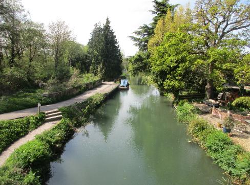
Eventually we reached Stroudwater Canal near King's Stanley. Another two
miles brought us to our quaint lodgings at Greencourt Loft in Middleyard.
|
At the top is Nymphsfield Longbarrow --
a chambered tomb built over 5,500 years ago!
|
Eventually we found civilization in Dursley, where we paused for a late lunch around 2 pm
|
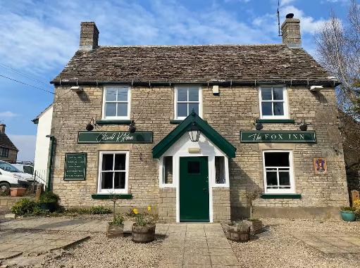
We stayed at the Fox Inn in Hawksbury Upton and had one
of our best pub nights of the trip at the nearby Beaufort Arms
|
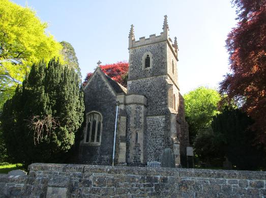
We paused at St. Adeline's Church in Little Sodbury with its peaceful atmosphere
|
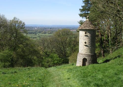
Horton Court folly is designed to look like an ancient ruin. It's situated
near the top of the escarpment overlooking Horton Court manor.
|
Our lodgings at Hill Farm were a mile past Cold Ashton
|
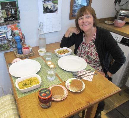
Dinners were provided for us in the fridge -- all we had to do was
nuke them warm. The haddock linguine was especially good.
|
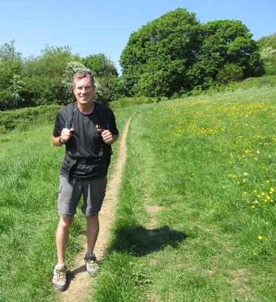
With temps in the 70's, shorts and t-shirts were all we needed
|
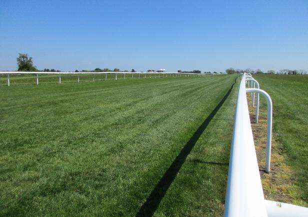
Bath Racecourse is the UK's highest flat racecourse -- it features a left-handed oval track
|